UN/LOCODE hub · France
FRBNI
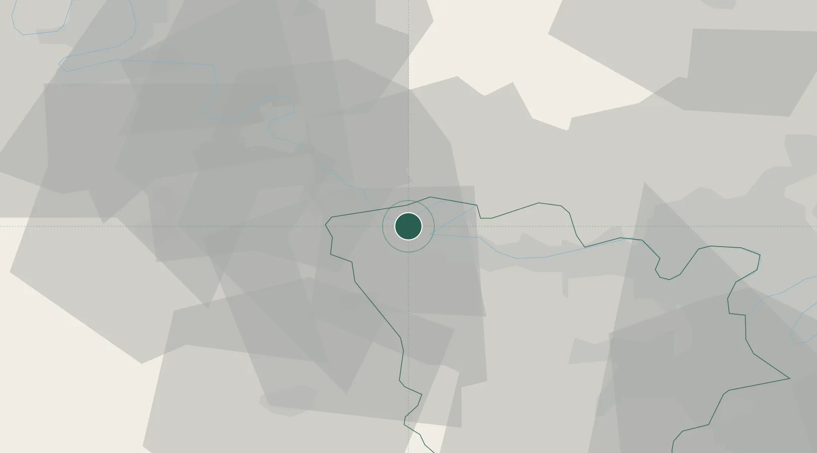
Bonnières-sur-Seine
49.0333°, 1.5833°
4,187
Population
2
Transport functions
Transport Functions
Rail
Road
Hub Profile
Place type
Populated place
Region
Île-de-France
Population
4,187
Time zone
Europe/Paris
Elevation
29 m
Location
Nearby Logistics Neighbours
Cities
- 1Bennecourt1 km
- 2Limetz-Villez4 km
- 3Sandrancourt5 km
- 4Gasny6 km
- 5Saint-Martin-la-Garenne7 km
Ports
- 1Port Of Rouen60 km
- 2Dieppe106 km
- 3Honfleur108 km
- 4Deauville115 km
- 5Le Treport116 km
Airports
Trade Zones
- 1ZFU Mantes-la-Jolie11 km
- 2ZFU Les Mureaux23 km
- 3ZFU Évreux32 km
- 4ZFU Dreux et Sainte-Gemme-Moronval35 km
- 5ZFU Trappes42 km
DatabookThe Record of Consolidated Knowledge
France beyond logistics?