UN/LOCODE hub · France
FRHOL

Holnon

49.8667°, 3.2167°
1,348
Population
1
Transport functions

Transport Functions

Multimodal
UN/LOCODE

Hub Profile

Place type
Populated place
GeoNames
Region
Hauts-de-France
GeoNames
Population
1,348
GeoNames
Time zone
Europe/Paris
GeoNames
Elevation
115 m
GeoNames

Location

Location of FRHOL
Natural Earth 10m (public domain) · Hauts-de-France · FRHOL · 49.87, 3.22GoogleOSMYandex

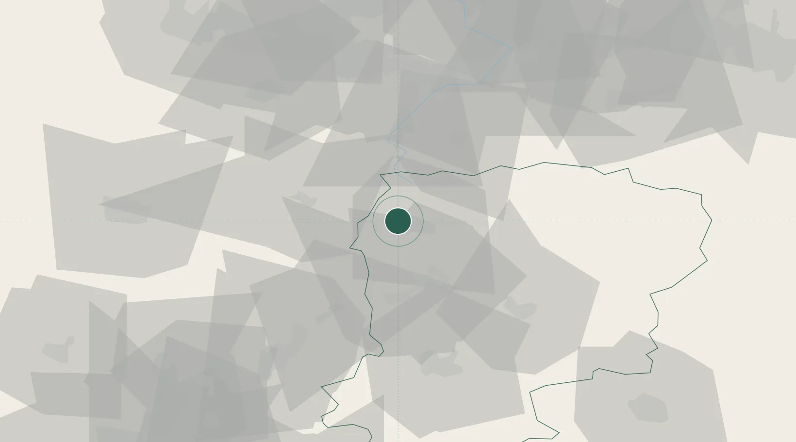
Nearby Logistics Neighbours

Cities
  1. 1Lesdins4 km
  2. 2Vermand5 km
  3. 3Saint-Quentin5 km
  4. 4Dallon6 km
  5. 5Harly8 km
Nearest neighbours — logibook spatial index (haversine) over the source coordinates
Ports
  1. 1Saint-Valery-Sur-Somme120 km
  2. 2Le Treport134 km
  3. 3Bruxelles137 km
  4. 4Ghent138 km
  5. 5Nieuwpoort145 km
Nearest neighbours — logibook spatial index (haversine) over the source coordinates
Airports
  1. 1Péronne Saint-Quentin Airfield13 km
  2. 2Valenciennes-Denain Airfield54 km
  3. 3Amiens Glisy Airfield60 km
  4. 4Lille Airport78 km
  5. 5Creil Air Base85 km
Nearest neighbours — logibook spatial index (haversine) over the source coordinates
DatabookThe Record of Consolidated Knowledge
France beyond logistics?
Browse databook

All Sources

LocationsUN/LOCODE
UN/LOCODE — free
LocationsGeoNames
CC BY 4.0
Portsthe NGA World Port Index
Public domain (US gov)
AirportsOurAirports
Public domain
Trade Zonesthe World Bank SEZ database
CC BY 4.0
Trade ZonesOpen Zone Map
CC BY
← France locations