Transport Functions
Road
Multimodal
Hub Profile
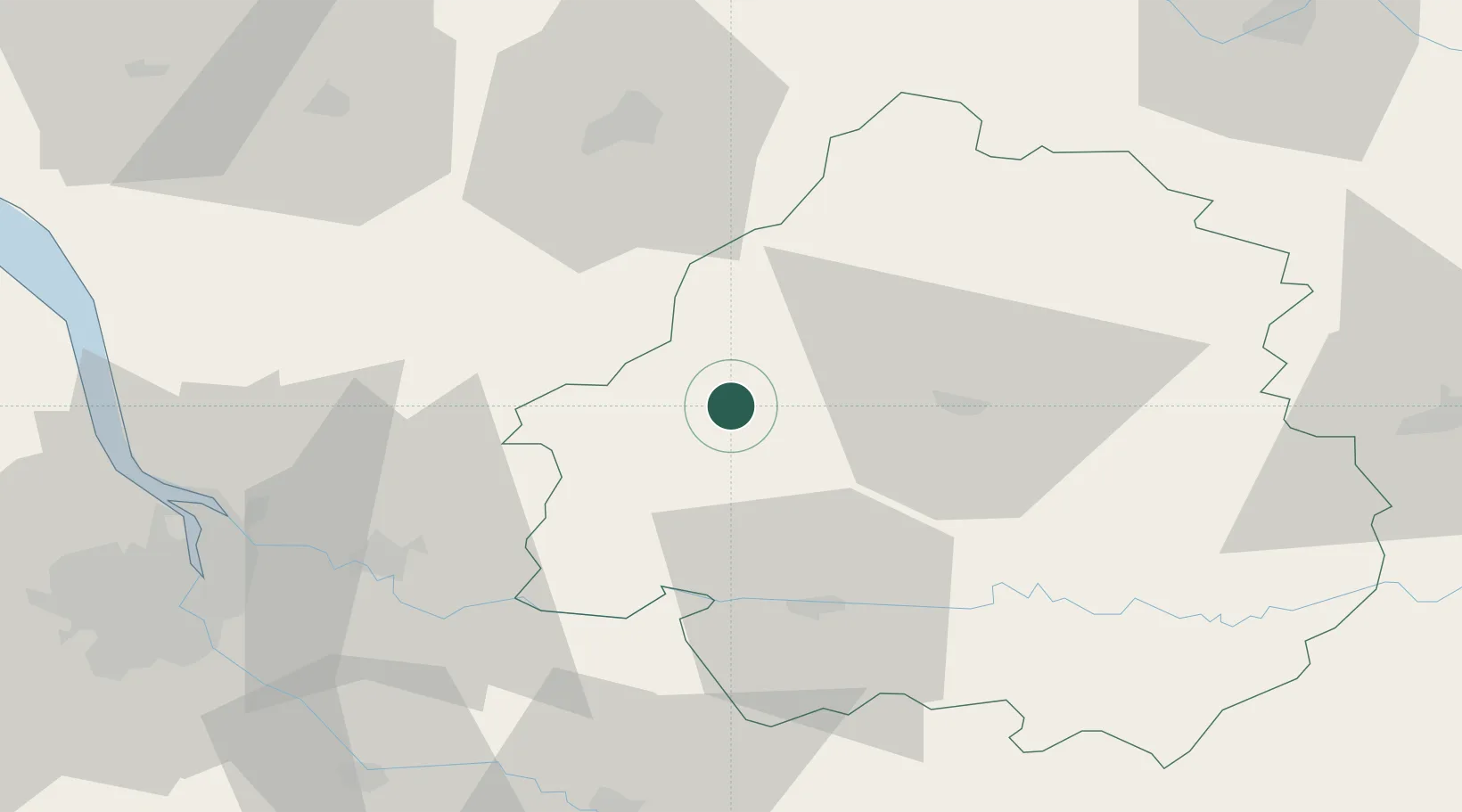
Place type
Populated place
Region
Nouvelle-Aquitaine
Population
282
Time zone
Europe/Paris
Elevation
157 m
Location
Nearby Logistics Neighbours
Cities
- 1Neuvic13 km
- 2Tocane-Saint-Apre14 km
- 3Saint-Léon-sur-l'Isle14 km
- 4Saint-Astier15 km
- 5Mussidan17 km
Airports
Trade Zones
- 1Port de Bordeaux76 km
- 2ZFU Hauts de Garonne83 km
- 3ZFU La Rochelle163 km
- 4ZFU Toulouse196 km
- 5ZFU Clermont-Ferrand223 km
DatabookThe Record of Consolidated Knowledge
France beyond logistics?