Transport Functions
Rail
Road
Hub Profile
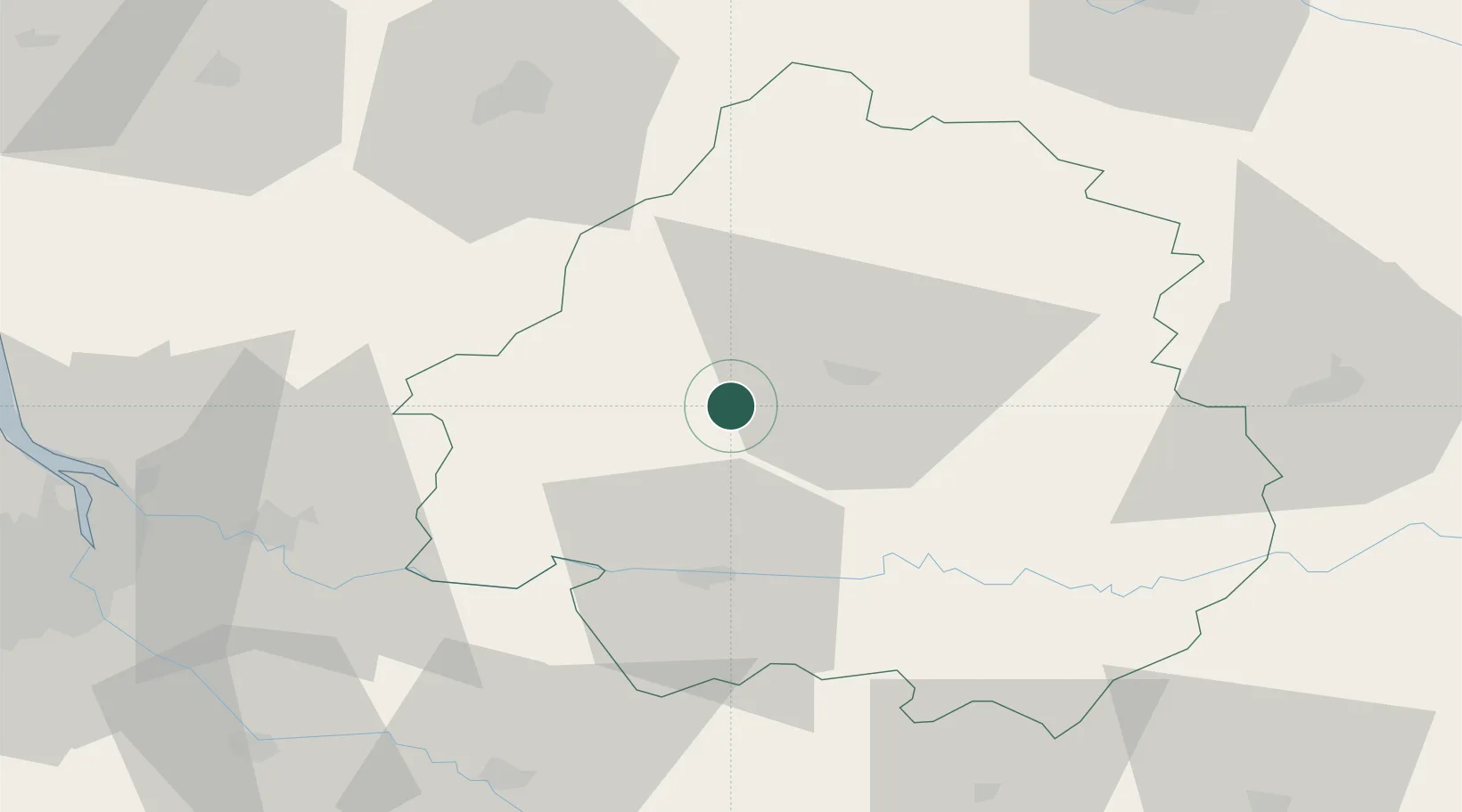
Place type
Populated place
Region
Nouvelle-Aquitaine
Population
4,914
Time zone
Europe/Paris
Elevation
77 m
Location
Nearby Logistics Neighbours
Cities
- 1Saint-Léon-sur-l'Isle3 km
- 2Neuvic6 km
- 3Chancelade13 km
- 4Villamblard13 km
- 5Tocane-Saint-Apre13 km
Airports
Trade Zones
- 1Port de Bordeaux88 km
- 2ZFU Hauts de Garonne94 km
- 3ZFU La Rochelle177 km
- 4ZFU Toulouse185 km
- 5ZFU Clermont-Ferrand211 km
DatabookThe Record of Consolidated Knowledge
France beyond logistics?