Transport Functions
Port
Road
Hub Profile
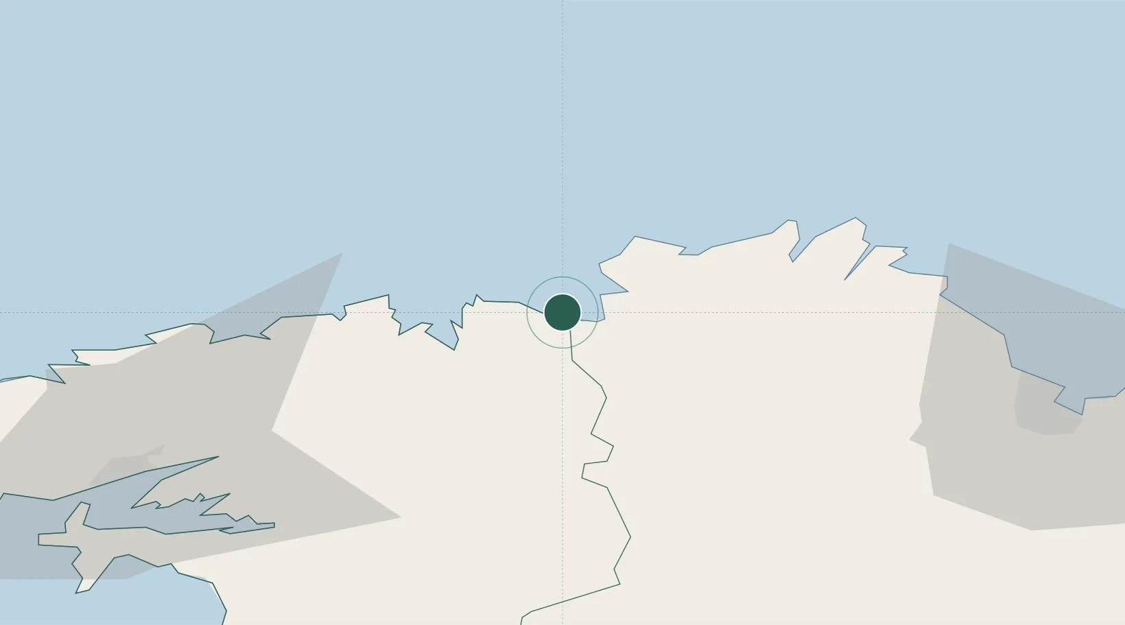
Place type
Populated place
Region
Brittany
Population
1,367
Time zone
Europe/Paris
Elevation
0 m
Location
Nearby Logistics Neighbours
Cities
- 1Guimaëc5 km
- 2Trédrez-Locquémeau6 km
- 3Plouegat-Guérand9 km
- 4Trébeurden10 km
- 5Plouezoc'h14 km
Ports
- 1Morlaix19 km
- 2Port De Roscoff-Bloscon25 km
- 3Treguier32 km
- 4Pontrieux37 km
- 5Lezardrieux42 km
Airports
- 1Lannion Airport14 km
- 2Morlaix-Ploujean Airport16 km
- 3Landivisiau Air Base41 km
- 4Saint-Brieuc-Armor Airport61 km
- 5Brest Bretagne airport63 km
Trade Zones
- 1ZFU Cherbourg-Octeville178 km
- 2ZFU Saint-Nazaire189 km
- 3Oceansgate Plymouth190 km
- 4Heart of the South West Enterprise Zone191 km
- 5Cornwall Newquay Aerohub Enterprise Zone216 km
DatabookThe Record of Consolidated Knowledge
France beyond logistics?