Transport Functions
Rail
Road
Hub Profile
Place type
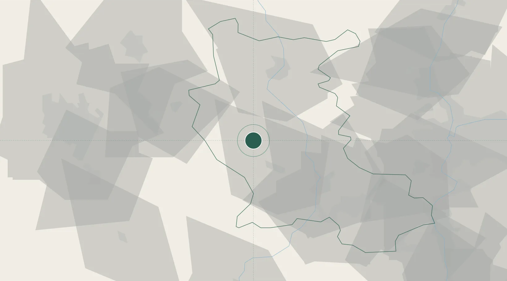
Populated place
Region
Rhône-Alpes
Population
1,009
Time zone
Europe/Paris
Elevation
428 m
Location
Nearby Logistics Neighbours
Cities
- 1Marcilly-le-Châtel8 km
- 2Champdieu11 km
- 3Saint-Julien-la-Vêtre15 km
- 4Montbrison17 km
- 5Savigneux17 km
Ports
- 1Sete260 km
- 2Fos268 km
- 3Port Saint Louis Du Rhone270 km
- 4Port-de-Bouc272 km
- 5Marseille291 km
Airports
Trade Zones
- 1ZFU Saint-Etienne43 km
- 2ZFU Lyon 9e65 km
- 3ZFU Vénissieux69 km
- 4ZFU Clermont-Ferrand69 km
- 5ZFU Rillieux-la-Pape70 km
DatabookThe Record of Consolidated Knowledge
France beyond logistics?