Transport Functions
Multimodal
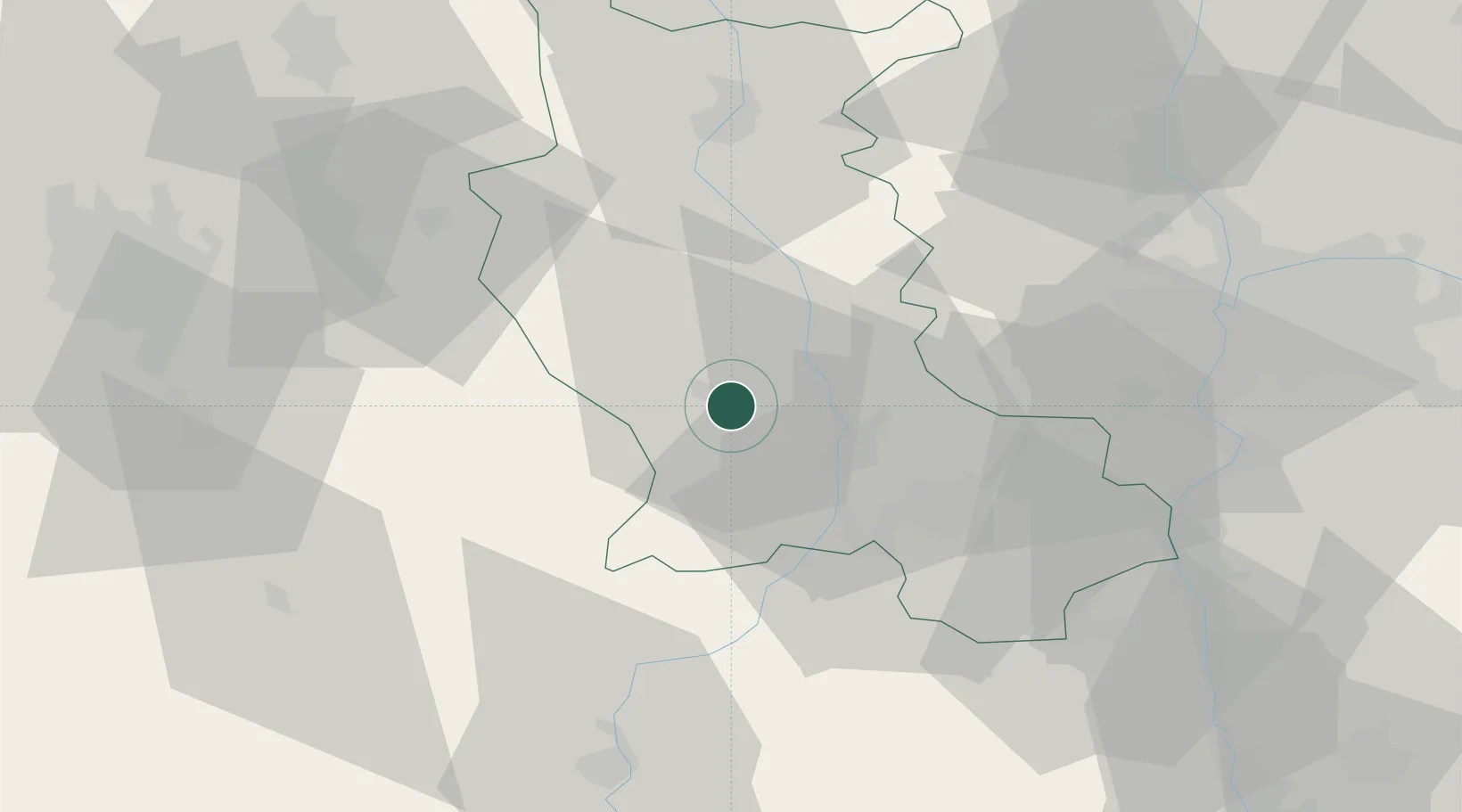
Hub Profile
Place type
Populated place
Region
Rhône-Alpes
Population
2,623
Time zone
Europe/Paris
Elevation
369 m
Location
Nearby Logistics Neighbours
Cities
- 1Montbrison1 km
- 2Champdieu6 km
- 3Boisset-lès-Montrond9 km
- 4Marcilly-le-Châtel10 km
- 5Bonson15 km
Ports
- 1Sete247 km
- 2Fos251 km
- 3Port Saint Louis Du Rhone253 km
- 4Port-de-Bouc255 km
- 5Marseille274 km
Airports
Trade Zones
- 1ZFU Saint-Etienne26 km
- 2ZFU Lyon 9e59 km
- 3ZFU Vénissieux61 km
- 4ZFU Rillieux-la-Pape65 km
- 5ZFU Vaulx-en-Velin68 km
DatabookThe Record of Consolidated Knowledge
France beyond logistics?