Transport Functions
Rail
Road
Hub Profile
Place type
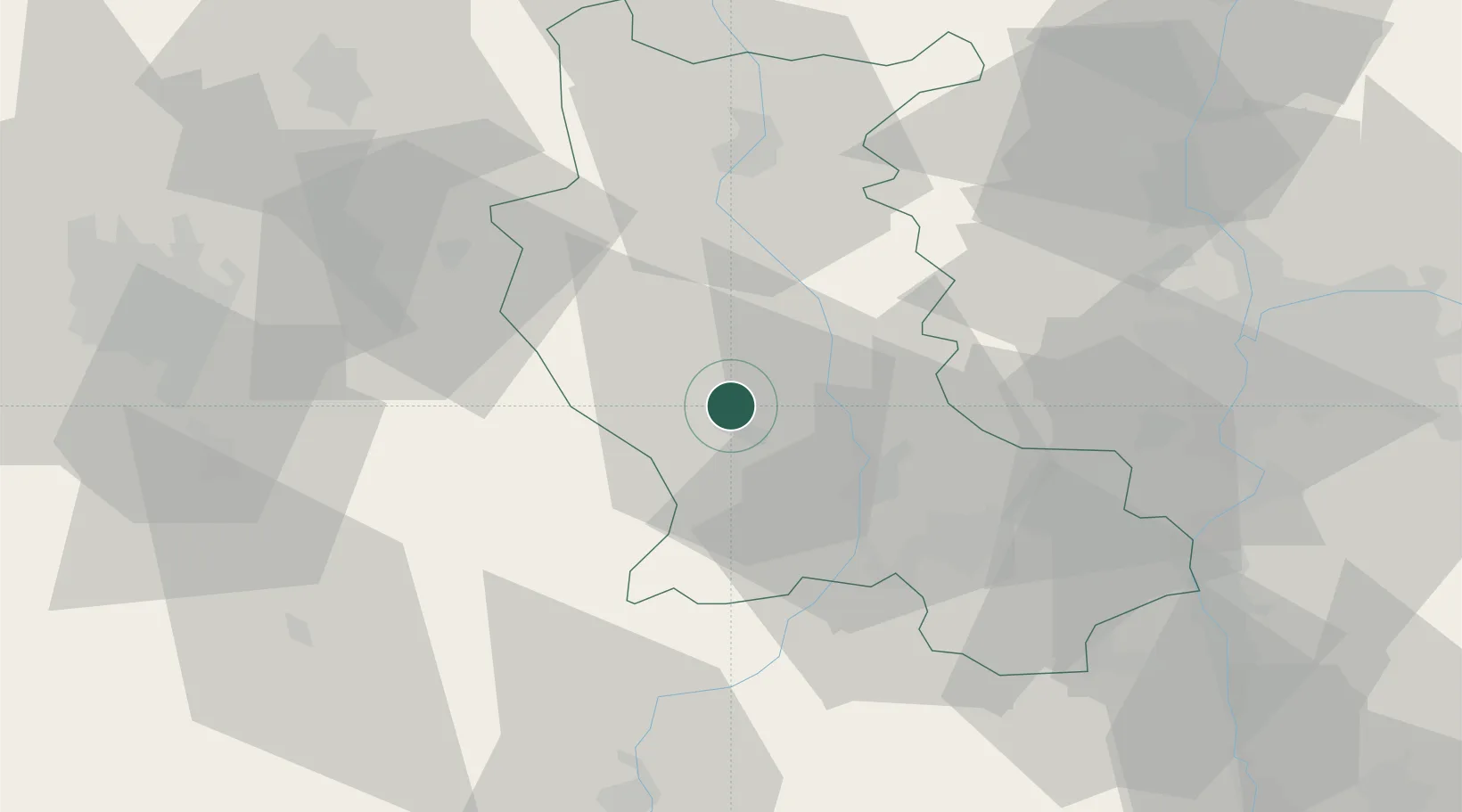
Populated place
Region
Rhône-Alpes
Population
1,513
Time zone
Europe/Paris
Elevation
399 m
Location
Nearby Logistics Neighbours
Cities
- 1Marcilly-le-Châtel4 km
- 2Montbrison6 km
- 3Savigneux6 km
- 4Sail-sous-Couzan11 km
- 5Boisset-lès-Montrond12 km
Ports
- 1Sete252 km
- 2Fos257 km
- 3Port Saint Louis Du Rhone259 km
- 4Port-de-Bouc261 km
- 5Marseille280 km
Airports
Trade Zones
- 1ZFU Saint-Etienne32 km
- 2ZFU Lyon 9e60 km
- 3ZFU Vénissieux62 km
- 4ZFU Rillieux-la-Pape66 km
- 5ZFU Vaulx-en-Velin69 km
DatabookThe Record of Consolidated Knowledge
France beyond logistics?