UN/LOCODE hub · France
FRMC7
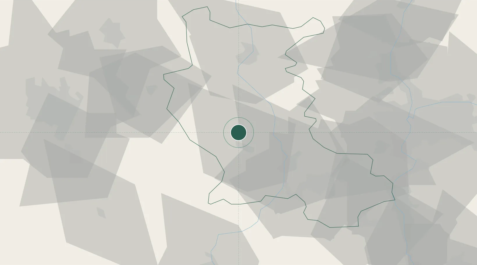
Marcilly-le-Châtel
45.6833°, 4.0333°
1,256
Population
1
Transport functions
Transport Functions
Multimodal
Hub Profile
Place type
Populated place
Region
Rhône-Alpes
Population
1,256
Time zone
Europe/Paris
Elevation
447 m
Location
Nearby Logistics Neighbours
Cities
- 1Champdieu4 km
- 2Sail-sous-Couzan8 km
- 3Montbrison10 km
- 4Savigneux10 km
- 5Boisset-lès-Montrond15 km
Ports
- 1Sete255 km
- 2Fos261 km
- 3Port Saint Louis Du Rhone263 km
- 4Port-de-Bouc265 km
- 5Marseille284 km
Airports
Trade Zones
- 1ZFU Saint-Etienne35 km
- 2ZFU Lyon 9e61 km
- 3ZFU Vénissieux64 km
- 4ZFU Rillieux-la-Pape66 km
- 5ZFU Vaulx-en-Velin70 km
DatabookThe Record of Consolidated Knowledge
France beyond logistics?