UN/LOCODE hub · France
FRSYT
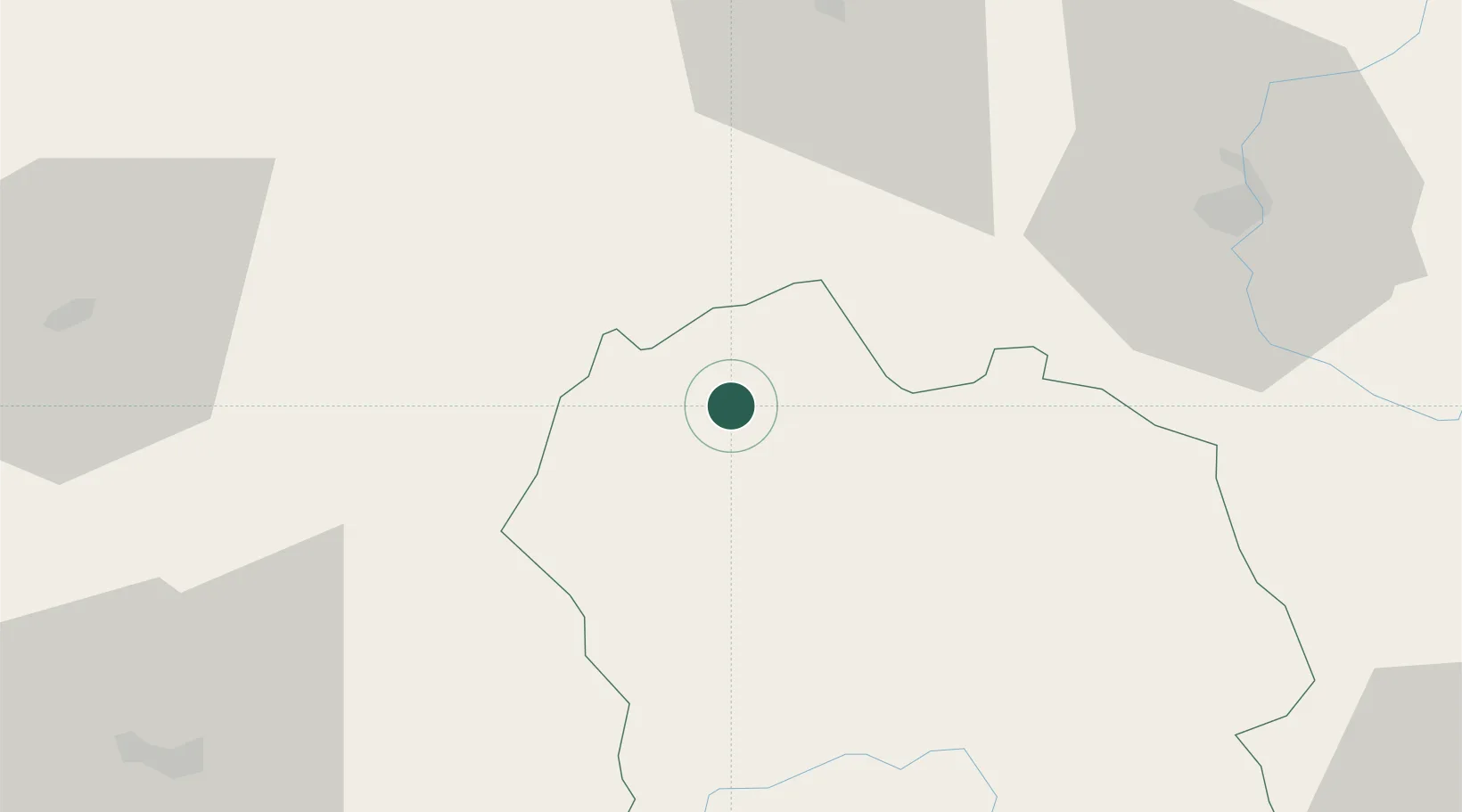
Saint-Chély-d'Apcher
44.8000°, 3.2667°
4,160
Population
2
Transport functions
Transport Functions
Rail
Road
Hub Profile
Place type
Populated place
Region
Occitanie
Population
4,160
Time zone
Europe/Paris
Elevation
1,008 m
Location
Nearby Logistics Neighbours
Cities
- 1Noalhac12 km
- 2Monistrol-d'Allier34 km
- 3Mende37 km
- 4Auroux37 km
- 5Fontanes41 km
Ports
- 1Sete160 km
- 2Port-La-Nouvelle199 km
- 3Port Saint Louis Du Rhone200 km
- 4Fos201 km
- 5Port-de-Bouc207 km
Airports
- 1Mende-Brenoux Airfield39 km
- 2Le Puy-Loudes Airfield50 km
- 3Aurillac airport67 km
- 4Rodez–Aveyron Airport76 km
- 5Aubenas-South Ardèche Airport92 km
Trade Zones
- 1ZFU Saint-Etienne107 km
- 2ZFU Clermont-Ferrand111 km
- 3ZFU Valence125 km
- 4ZFU Nîmes138 km
- 5ZFU Montpellier141 km
DatabookThe Record of Consolidated Knowledge
France beyond logistics?