Transport Functions
Multimodal
Hub Profile
Place type
Populated place
Region
Occitanie
Population
404
Time zone
Europe/Paris
Elevation
988 m
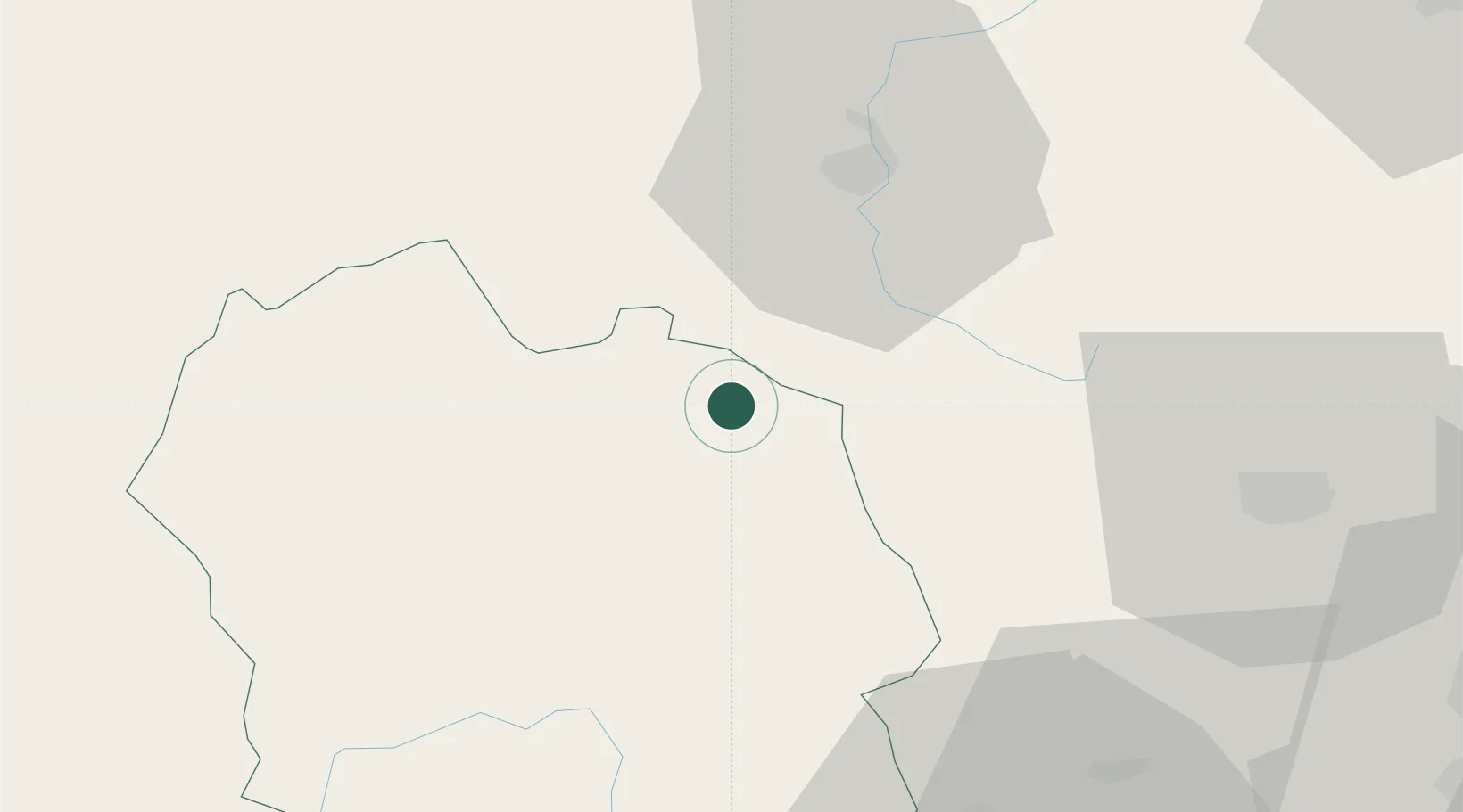
Location
Nearby Logistics Neighbours
Cities
- 1Fontanes5 km
- 2Langogne10 km
- 3Monistrol-d'Allier25 km
- 4Lantriac29 km
- 5Mende32 km
Ports
- 1Sete150 km
- 2Fos174 km
- 3Port Saint Louis Du Rhone175 km
- 4Port-de-Bouc180 km
- 5Port-La-Nouvelle200 km
Airports
Trade Zones
- 1ZFU Saint-Etienne87 km
- 2ZFU Valence90 km
- 3ZFU Nîmes114 km
- 4ZFU Avignon123 km
- 5ZFU Clermont-Ferrand126 km
DatabookThe Record of Consolidated Knowledge
France beyond logistics?