Transport Functions
Road
Multimodal
Hub Profile
Place type
Populated place
Region
Occitanie
Population
86
Time zone
Europe/Paris
Elevation
1,018 m
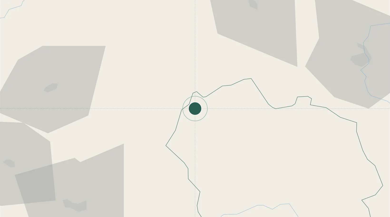
Location
Nearby Logistics Neighbours
Cities
- 1Saint-Chély-d'Apcher12 km
- 2Neussargues-Moissac37 km
- 3Campouriez42 km
- 4Monistrol-d'Allier44 km
- 5Mende45 km
Ports
- 1Sete164 km
- 2Port-La-Nouvelle200 km
- 3Port Saint Louis Du Rhone209 km
- 4Fos210 km
- 5Port-de-Bouc217 km
Airports
- 1Mende-Brenoux Airfield48 km
- 2Aurillac airport55 km
- 3Le Puy-Loudes Airfield59 km
- 4Rodez–Aveyron Airport68 km
- 5Aubenas-South Ardèche Airport104 km
Trade Zones
- 1ZFU Clermont-Ferrand108 km
- 2ZFU Saint-Etienne115 km
- 3ZFU Valence137 km
- 4ZFU Montpellier147 km
- 5ZFU Nîmes148 km
DatabookThe Record of Consolidated Knowledge
France beyond logistics?