Transport Functions
Rail
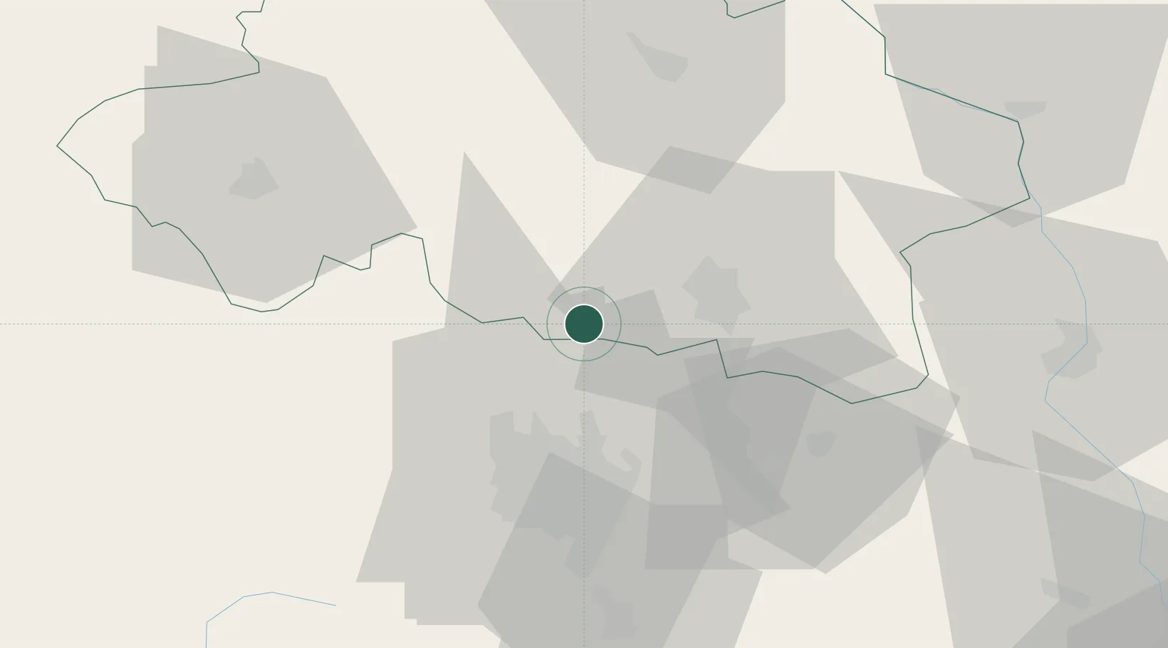
Hub Profile
Place type
Populated place
Region
Rhône-Alpes
Population
6,096
Time zone
Europe/Paris
Elevation
345 m
Location
Nearby Logistics Neighbours
Cities
- 1Saint-Bonnet-de-Rochefort8 km
- 2Orcet8 km
- 3Étroussat13 km
- 4Abrest18 km
- 5Vichy18 km
Ports
- 1Sete303 km
- 2Ambes315 km
- 3Tonnay Charente317 km
- 4Blaye319 km
- 5Rochefort321 km
Airports
- 1Vichy-Charmeil Airport18 km
- 2Clermont-Ferrand Auvergne airport35 km
- 3Roanne-Renaison Airport62 km
- 4Montluçon-Guéret Airport66 km
- 5Saint-Yan Airport72 km
Trade Zones
- 1ZFU Clermont-Ferrand36 km
- 2ZFU Saint-Etienne114 km
- 3ZFU Bourges128 km
- 4ZFU Lyon 9e129 km
- 5ZFU Rillieux-la-Pape132 km
DatabookThe Record of Consolidated Knowledge
France beyond logistics?