UN/LOCODE hub · France
FRSJM

Saint-Jean-de-Minervois
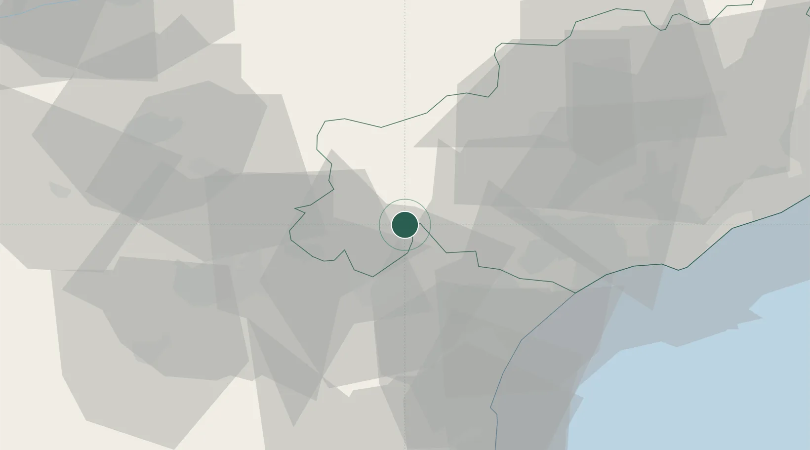
43.3833°, 2.8333°
131
Population
1
Transport functions

Transport Functions

Multimodal
UN/LOCODE

Hub Profile

Place type
Populated place
GeoNames
Region
Occitanie
GeoNames
Population
131
GeoNames
Time zone
Europe/Paris
GeoNames
Elevation
281 m
GeoNames

Location

Location of FRSJM
Natural Earth 10m (public domain) · Occitanie · FRSJM · 43.38, 2.83GoogleOSMYandex

Nearby Logistics Neighbours

Cities
  1. 1Aigne6 km
  2. 2Aigues-Vives6 km
  3. 3Agel6 km
  4. 4Villespassans7 km
  5. 5Minerve8 km
Nearest neighbours — logibook spatial index (haversine) over the source coordinates
Ports
  1. 1Port-La-Nouvelle45 km
  2. 2Sete70 km
  3. 3Port-Vendres99 km
  4. 4Rosas127 km
  5. 5Port Saint Louis Du Rhone160 km
Nearest neighbours — logibook spatial index (haversine) over the source coordinates
Airports
  1. 1Béziers Vias airport43 km
  2. 2Carcassonne Salvaza Airport47 km
  3. 3Castres Mazamet Airport48 km
  4. 4Perpignan-Rivesaltes (Llabanère) Airport72 km
  5. 5Albi Le Sequestre airport83 km
Nearest neighbours — logibook spatial index (haversine) over the source coordinates
Trade Zones
  1. 1ZFU Béziers31 km
  2. 2ZFU Perpignan76 km
  3. 3ZFU Montpellier85 km
  4. 4ZFU Toulouse115 km
  5. 5ZFU Nîmes131 km
Nearest neighbours — logibook spatial index (haversine) over the source coordinates
DatabookThe Record of Consolidated Knowledge
France beyond logistics?
Browse databook

All Sources

LocationsUN/LOCODE
UN/LOCODE — free
LocationsGeoNames
CC BY 4.0
Portsthe NGA World Port Index
Public domain (US gov)
AirportsOurAirports
Public domain
Trade Zonesthe World Bank SEZ database
CC BY 4.0
Trade ZonesOpen Zone Map
CC BY
← France locations