Transport Functions
Road
Multimodal
Hub Profile
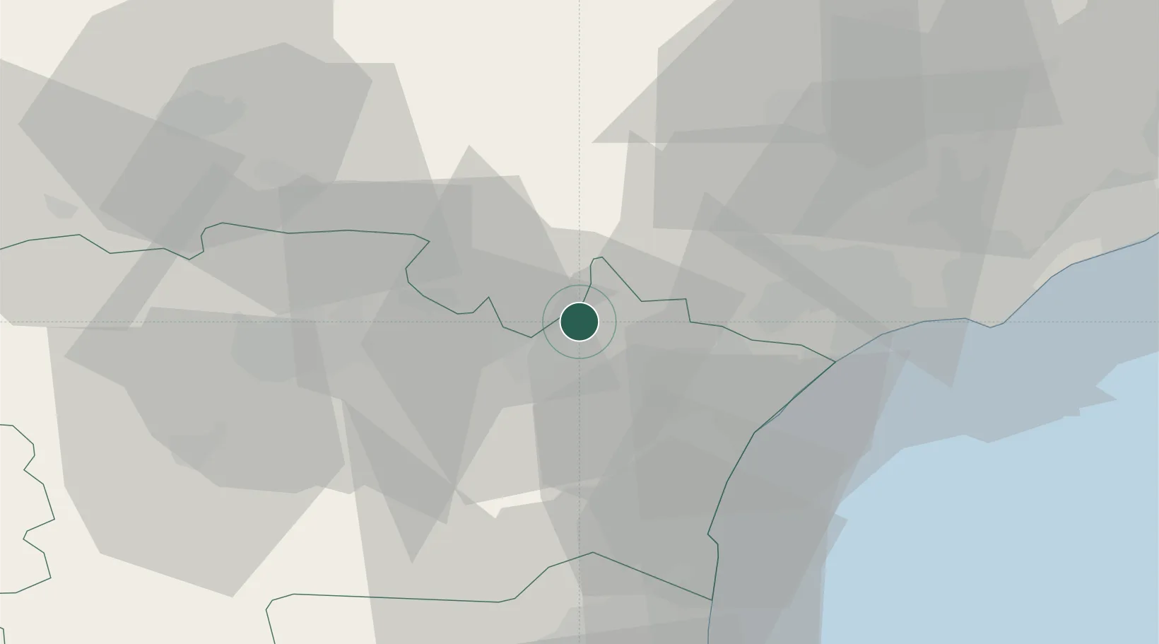
Place type
Populated place
Region
Occitanie
Population
353
Time zone
Europe/Paris
Elevation
70 m
Location
Nearby Logistics Neighbours
Cities
- 1Paraza4 km
- 2Roubia5 km
- 3Mirepeisset5 km
- 4Bize-Minervois6 km
- 5Beaufort6 km
Ports
- 1Port-La-Nouvelle35 km
- 2Sete71 km
- 3Port-Vendres88 km
- 4Rosas117 km
- 5Port Saint Louis Du Rhone161 km
Airports
Trade Zones
- 1ZFU Béziers32 km
- 2ZFU Perpignan65 km
- 3ZFU Montpellier89 km
- 4ZFU Toulouse118 km
- 5ZFU Nîmes136 km
DatabookThe Record of Consolidated Knowledge
France beyond logistics?