Transport Functions
Road
Multimodal
Hub Profile
Place type
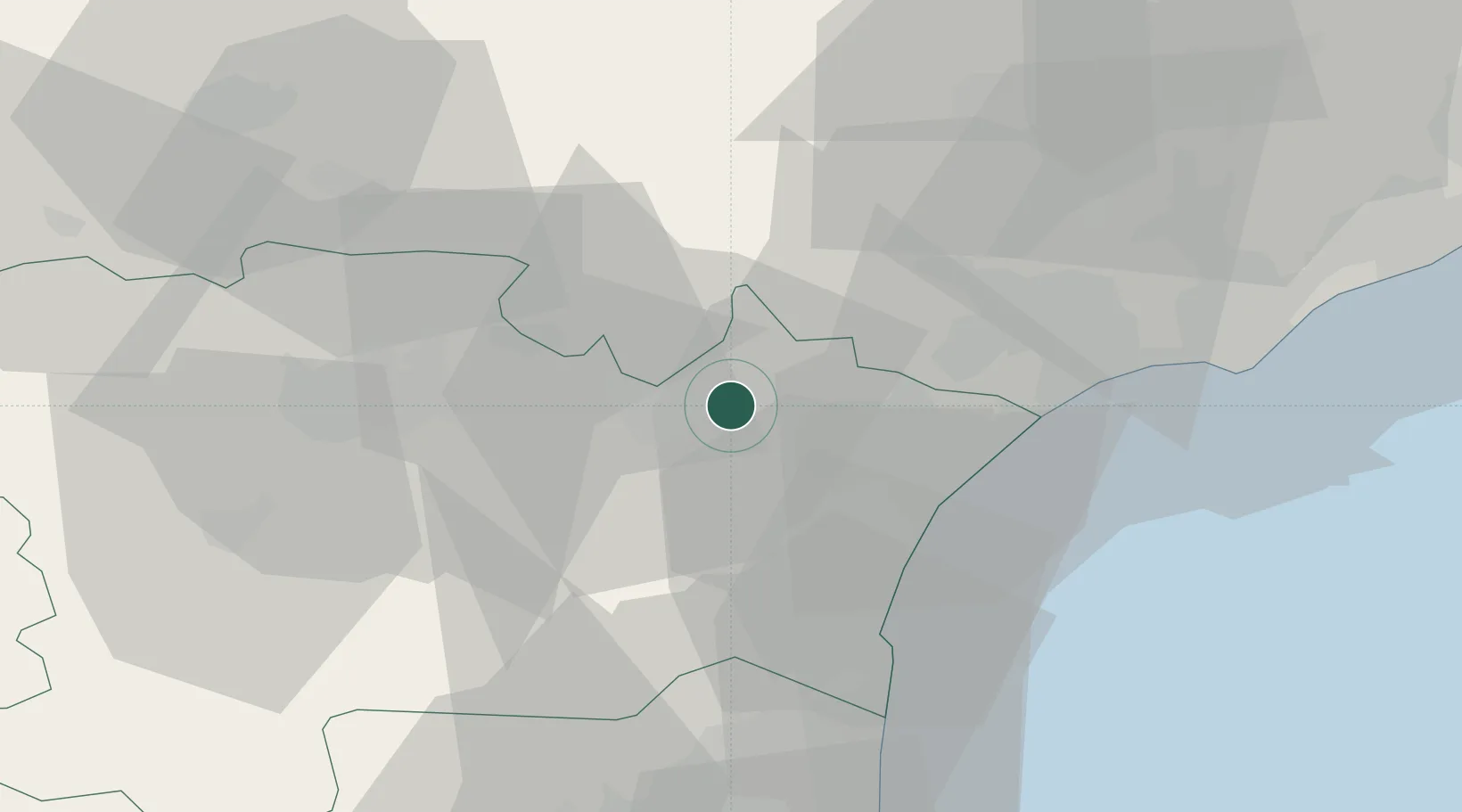
Populated place
Region
Occitanie
Population
1,801
Time zone
Europe/Paris
Elevation
28 m
Location
Nearby Logistics Neighbours
Cities
- 1Paraza2 km
- 2Roubia5 km
- 3Névian5 km
- 4Pouzols-Minervois6 km
- 5Ornaisons6 km
Ports
- 1Port-La-Nouvelle30 km
- 2Sete71 km
- 3Port-Vendres83 km
- 4Rosas111 km
- 5Palamos157 km
Airports
Trade Zones
- 1ZFU Béziers32 km
- 2ZFU Perpignan60 km
- 3ZFU Montpellier91 km
- 4ZFU Toulouse121 km
- 5ZFU Nîmes137 km
DatabookThe Record of Consolidated Knowledge
France beyond logistics?