UN/LOCODE hub · France
FRTH9

Thizay

47.1667°, 0.1500°
244
Population
1
Transport functions

Transport Functions

Multimodal
UN/LOCODE

Hub Profile

Place type
Populated place
GeoNames
Region
Centre-Val de Loire
GeoNames
Population
244
GeoNames
Time zone
Europe/Paris
GeoNames
Elevation
35 m
GeoNames

Location

Location of FRTH9
Natural Earth 10m (public domain) · Centre-Val de Loire · FRTH9 · 47.17, 0.15GoogleOSMYandex

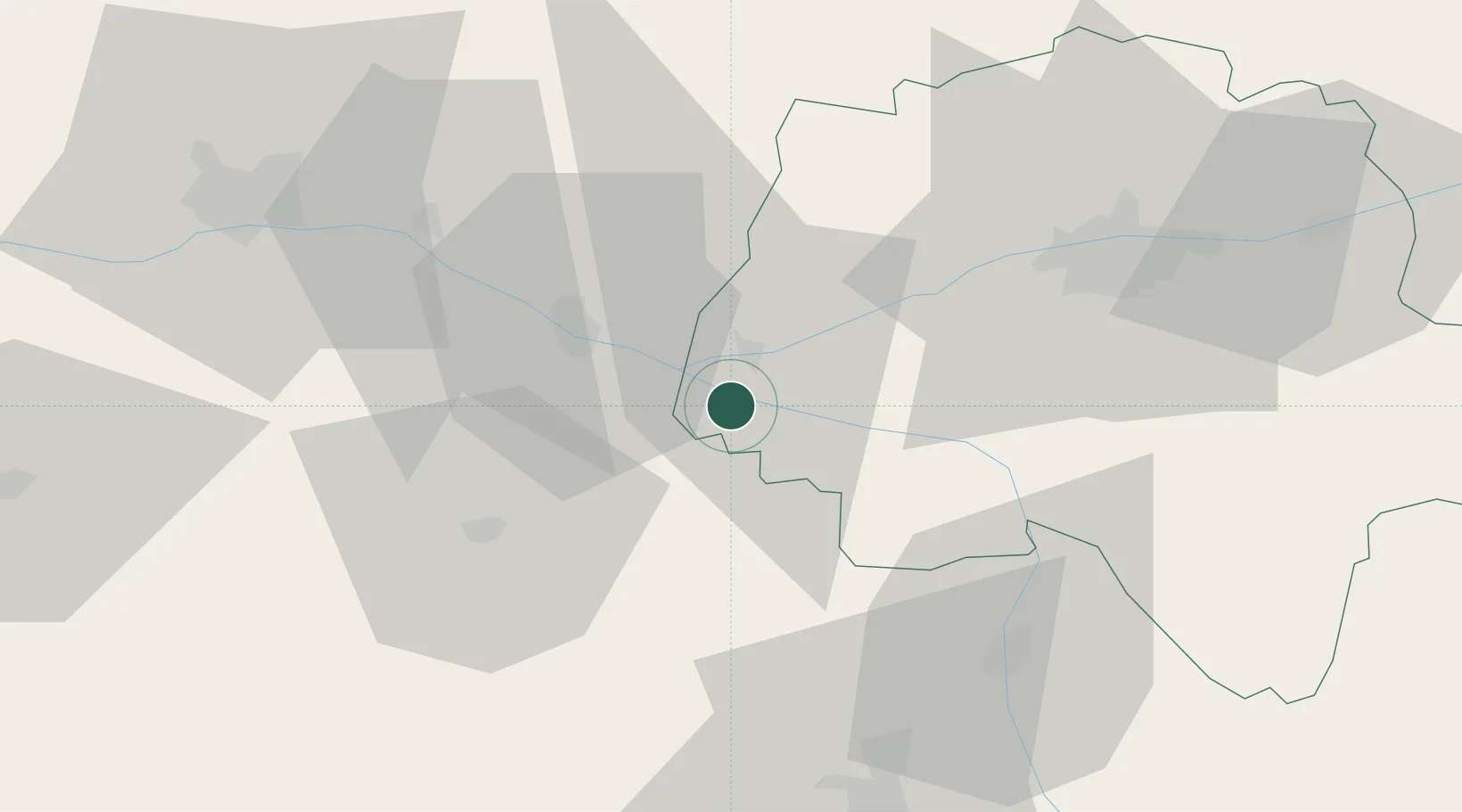
Nearby Logistics Neighbours

Cities
  1. 1Avoine4 km
  2. 2Beaumont-en-Véron5 km
  3. 3Castillon-de-Castets8 km
  4. 4Castelnau-de-Lévis8 km
  5. 5Le Subdray8 km
Nearest neighbours — logibook spatial index (haversine) over the source coordinates
Ports
  1. 1Nantes130 km
  2. 2La Rochelle150 km
  3. 3La Pallice152 km
  4. 4Tonnay Charente159 km
  5. 5Rochefort161 km
Nearest neighbours — logibook spatial index (haversine) over the source coordinates
Airports
  1. 1Tours Val de Loire Airport53 km
  2. 2Angers Marcé airport56 km
  3. 3Poitiers-Biard Airport66 km
  4. 4Le Mans-Arnage Airport87 km
  5. 5Niort - Marais Poitevin Airport104 km
Nearest neighbours — logibook spatial index (haversine) over the source coordinates
Trade Zones
  1. 1ZFU Angers66 km
  2. 2ZFU Le Mans91 km
  3. 3ZFU Blois96 km
  4. 4ZFU Nantes et Saint-Herblain140 km
  5. 5ZFU Alençon141 km
Nearest neighbours — logibook spatial index (haversine) over the source coordinates
DatabookThe Record of Consolidated Knowledge
France beyond logistics?
Browse databook

All Sources

LocationsUN/LOCODE
UN/LOCODE — free
LocationsGeoNames
CC BY 4.0
Portsthe NGA World Port Index
Public domain (US gov)
AirportsOurAirports
Public domain
Trade Zonesthe World Bank SEZ database
CC BY 4.0
Trade ZonesOpen Zone Map
CC BY
← France locations