Transport Functions
Road
Multimodal
Hub Profile
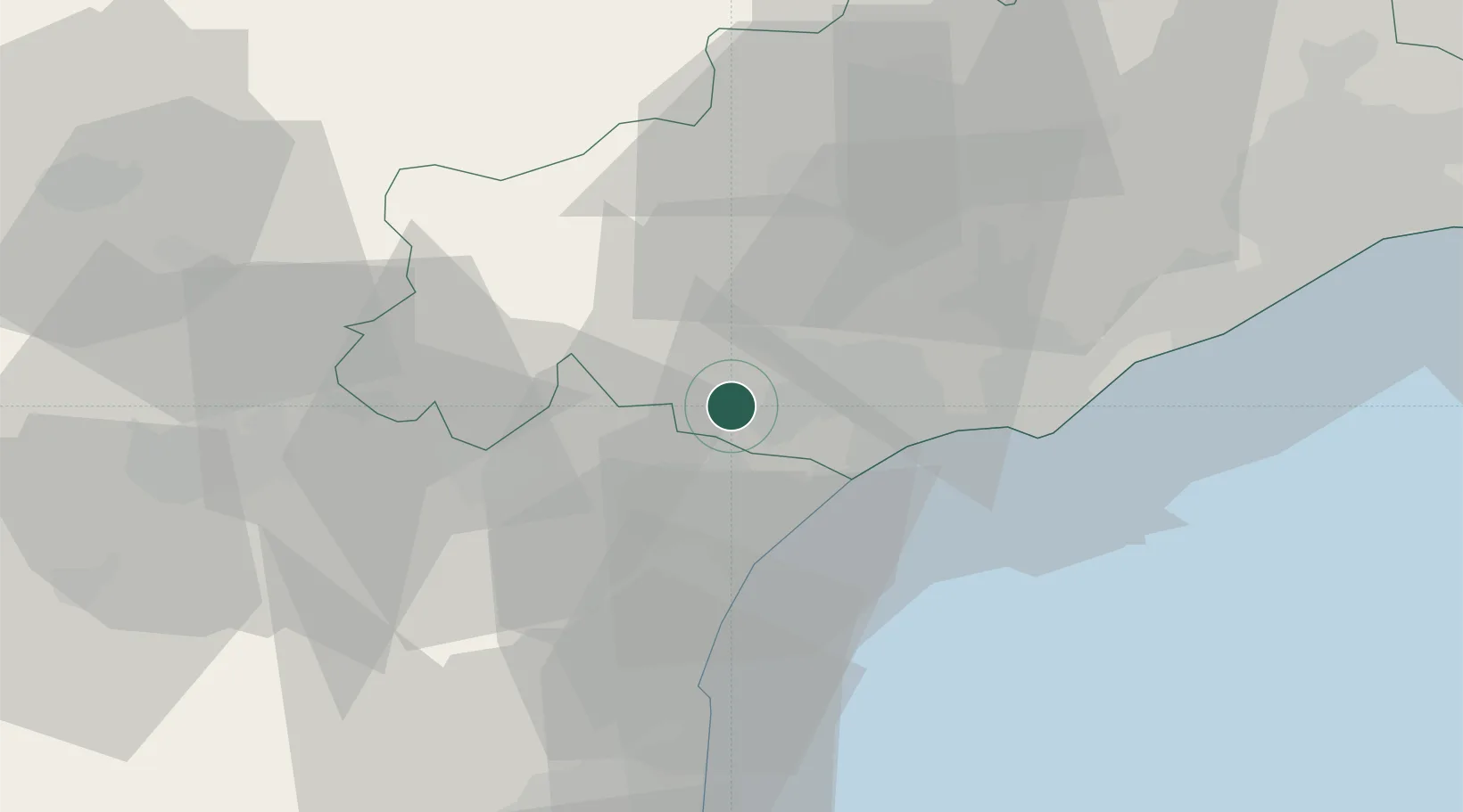
Place type
Populated place
Region
Occitanie
Population
474
Time zone
Europe/Paris
Elevation
38 m
Location
Nearby Logistics Neighbours
Cities
- 1Montady3 km
- 2Colombiers4 km
- 3Maureilhan-et-Raméjan5 km
- 4Nissan-lez-Enserune6 km
- 5Puisserguier7 km
Ports
- 1Port-La-Nouvelle33 km
- 2Sete51 km
- 3Port-Vendres89 km
- 4Rosas117 km
- 5Port Saint Louis Du Rhone140 km
Airports
Trade Zones
- 1ZFU Béziers11 km
- 2ZFU Montpellier69 km
- 3ZFU Perpignan70 km
- 4ZFU Nîmes116 km
- 5ZFU Toulouse136 km
DatabookThe Record of Consolidated Knowledge
France beyond logistics?