Transport Functions
Road
Multimodal
Hub Profile
Place type
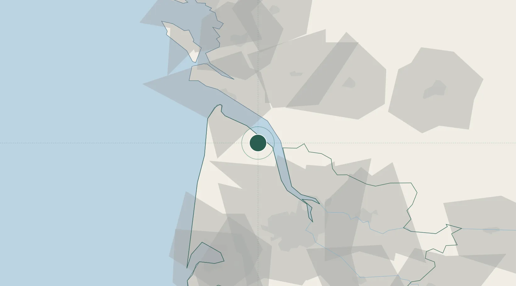
Populated place
Region
Nouvelle-Aquitaine
Population
224
Time zone
Europe/Paris
Elevation
10 m
Location
Nearby Logistics Neighbours
Cities
- 1Saint-Christoly-Médoc1 km
- 2Civrac-en-Médoc4 km
- 3Saint-Yzans-de-Médoc5 km
- 4Prignac-en-Médoc6 km
- 5Valeyrac7 km
Airports
Trade Zones
- 1Port de Bordeaux55 km
- 2ZFU Hauts de Garonne62 km
- 3ZFU La Rochelle95 km
- 4ZFU Nantes et Saint-Herblain218 km
- 5ZFU Angers238 km
DatabookThe Record of Consolidated Knowledge
France beyond logistics?