UN/LOCODE hub · France
FRSY2

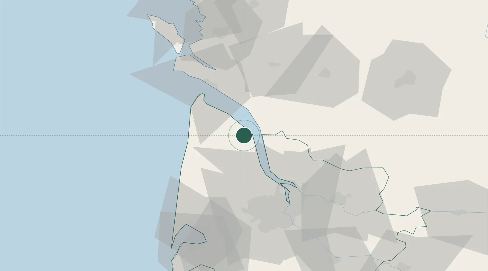
Saint-Yzans-de-Médoc

45.3167°, -0.8167°
403
Population
2
Transport functions

Transport Functions

Road
Multimodal
UN/LOCODE

Hub Profile

Place type
Populated place
GeoNames
Region
Nouvelle-Aquitaine
GeoNames
Population
403
GeoNames
Time zone
Europe/Paris
GeoNames
Elevation
12 m
GeoNames

Location

Location of FRSY2
Natural Earth 10m (public domain) · Nouvelle-Aquitaine · FRSY2 · 45.32, -0.82GoogleOSMYandex

Nearby Logistics Neighbours

Cities
  1. 1Saint-Christoly-Médoc4 km
  2. 2Couquèques5 km
  3. 3Saint-Seurin-de-Cadourne5 km
  4. 4Civrac-en-Médoc7 km
  5. 5Prignac-en-Médoc8 km
Nearest neighbours — logibook spatial index (haversine) over the source coordinates
Ports
  1. 1Pauillac14 km
  2. 2Blaye24 km
  3. 3Le Verdon32 km
  4. 4Ambes40 km
  5. 5Bordeaux54 km
Nearest neighbours — logibook spatial index (haversine) over the source coordinates
Airports
  1. 1Royan-Médis Airport37 km
  2. 2Cognac-Châteaubernard (BA 709) Air Base54 km
  3. 3Bordeaux–Mérignac Airport55 km
  4. 4Rochefort-Saint-Agnant (BA 721) Airport65 km
  5. 5Aérodrome d'Arcachon-La Teste-de-Buch83 km
Nearest neighbours — logibook spatial index (haversine) over the source coordinates
Trade Zones
  1. 1Port de Bordeaux50 km
  2. 2ZFU Hauts de Garonne57 km
  3. 3ZFU La Rochelle99 km
  4. 4ZFU Nantes et Saint-Herblain223 km
  5. 5Depósito Franco de Pasajes (Guipúzcoa)239 km
Nearest neighbours — logibook spatial index (haversine) over the source coordinates
DatabookThe Record of Consolidated Knowledge
France beyond logistics?
Browse databook

All Sources

LocationsUN/LOCODE
UN/LOCODE — free
LocationsGeoNames
CC BY 4.0
Portsthe NGA World Port Index
Public domain (US gov)
AirportsOurAirports
Public domain
Trade Zonesthe World Bank SEZ database
CC BY 4.0
Trade ZonesOpen Zone Map
CC BY
← France locations