UN/LOCODE hub · France
FRG7D

Plouegat-Guérand

48.6167°, -3.6667°
983
Population
1
Transport functions

Transport Functions

Multimodal
UN/LOCODE

Hub Profile

Place type
Populated place
GeoNames
Region
Brittany
GeoNames
Population
983
GeoNames
Time zone
Europe/Paris
GeoNames
Elevation
76 m
GeoNames

Location

Location of FRG7D
Natural Earth 10m (public domain) · Brittany · FRG7D · 48.62, -3.67GoogleOSMYandex

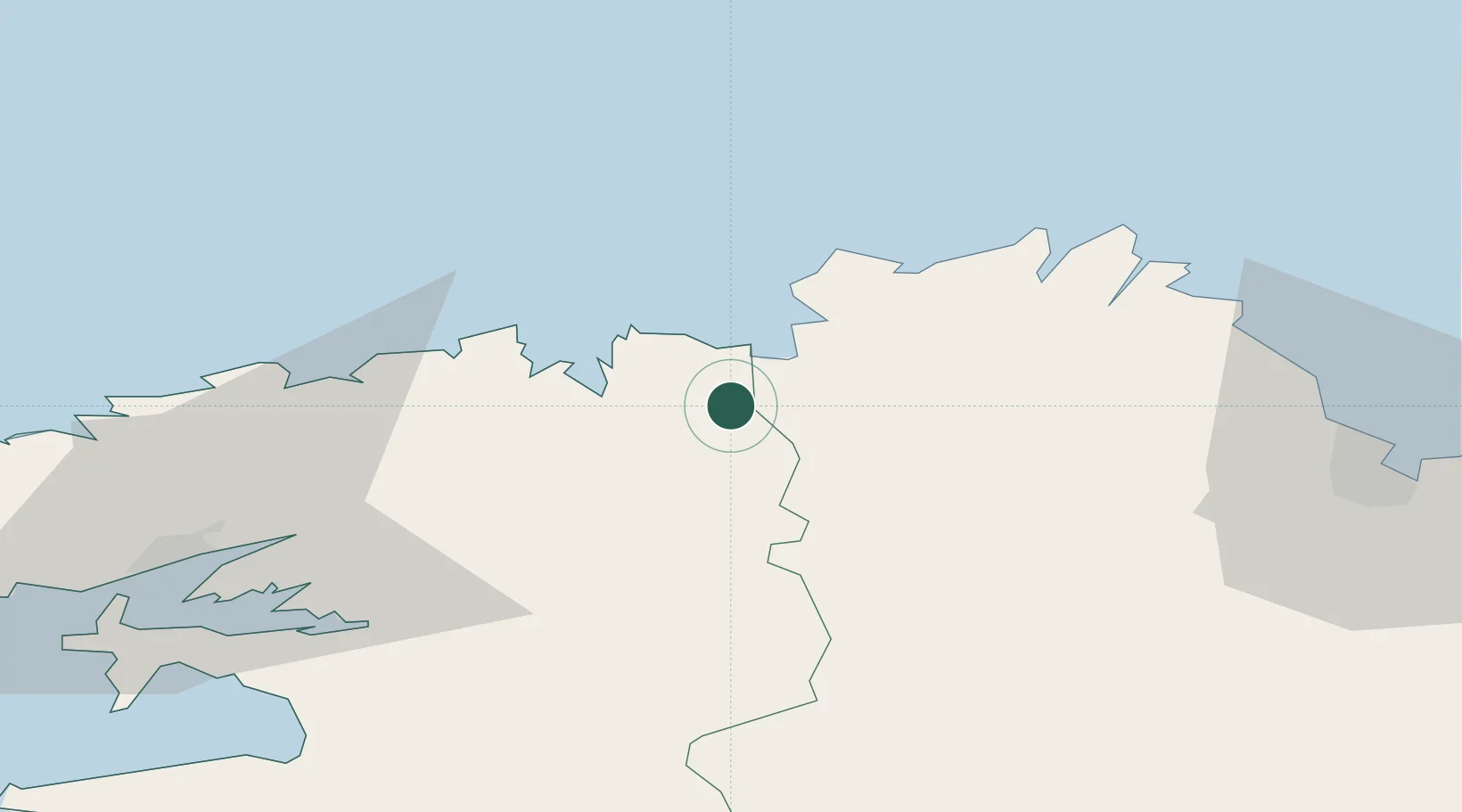
Nearby Logistics Neighbours

Cities
  1. 1Guimaëc6 km
  2. 2Locquirec9 km
  3. 3Plouezoc'h11 km
  4. 4Plougonven12 km
  5. 5Trédrez-Locquémeau12 km
Nearest neighbours — logibook spatial index (haversine) over the source coordinates
Ports
  1. 1Morlaix13 km
  2. 2Port De Roscoff-Bloscon27 km
  3. 3Treguier37 km
  4. 4Pontrieux40 km
  5. 5Lezardrieux46 km
Nearest neighbours — logibook spatial index (haversine) over the source coordinates
Airports
  1. 1Morlaix-Ploujean Airport11 km
  2. 2Lannion Airport21 km
  3. 3Landivisiau Air Base37 km
  4. 4Brest Bretagne airport59 km
  5. 5Saint-Brieuc-Armor Airport60 km
Nearest neighbours — logibook spatial index (haversine) over the source coordinates
Trade Zones
  1. 1ZFU Saint-Nazaire182 km
  2. 2ZFU Cherbourg-Octeville185 km
  3. 3Oceansgate Plymouth199 km
  4. 4Heart of the South West Enterprise Zone200 km
  5. 5ZFU Nantes et Saint-Herblain213 km
Nearest neighbours — logibook spatial index (haversine) over the source coordinates
DatabookThe Record of Consolidated Knowledge
France beyond logistics?
Browse databook

All Sources

LocationsUN/LOCODE
UN/LOCODE — free
LocationsGeoNames
CC BY 4.0
Portsthe NGA World Port Index
Public domain (US gov)
AirportsOurAirports
Public domain
Trade Zonesthe World Bank SEZ database
CC BY 4.0
Trade ZonesOpen Zone Map
CC BY
← France locations