Transport Functions
Port
Hub Profile
Place type
Populated place
Region
Pays de la Loire
Time zone
Europe/Paris
Elevation
7 m
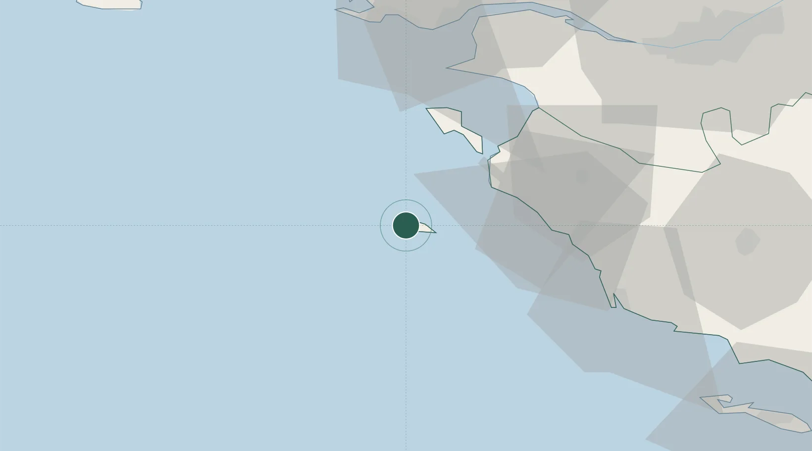
Location
Nearby Logistics Neighbours
Cities
- 1L'Île-d'Yeu0 km
- 2Saint-Jean-de-Monts24 km
- 3Le Bonhomme29 km
- 4Saint-Hilaire-de-Riez32 km
- 5Beauvoir-sur-Mer32 km
Ports
- 1Les Sables D' Olonne48 km
- 2St Nazaire64 km
- 3Montoir67 km
- 4Donges68 km
- 5Nantes80 km
Airports
Trade Zones
- 1ZFU Saint-Nazaire63 km
- 2ZFU Nantes et Saint-Herblain75 km
- 3ZFU La Rochelle107 km
- 4ZFU Angers158 km
- 5ZFU Le Mans234 km
DatabookThe Record of Consolidated Knowledge
France beyond logistics?