Transport Functions
Rail
Road
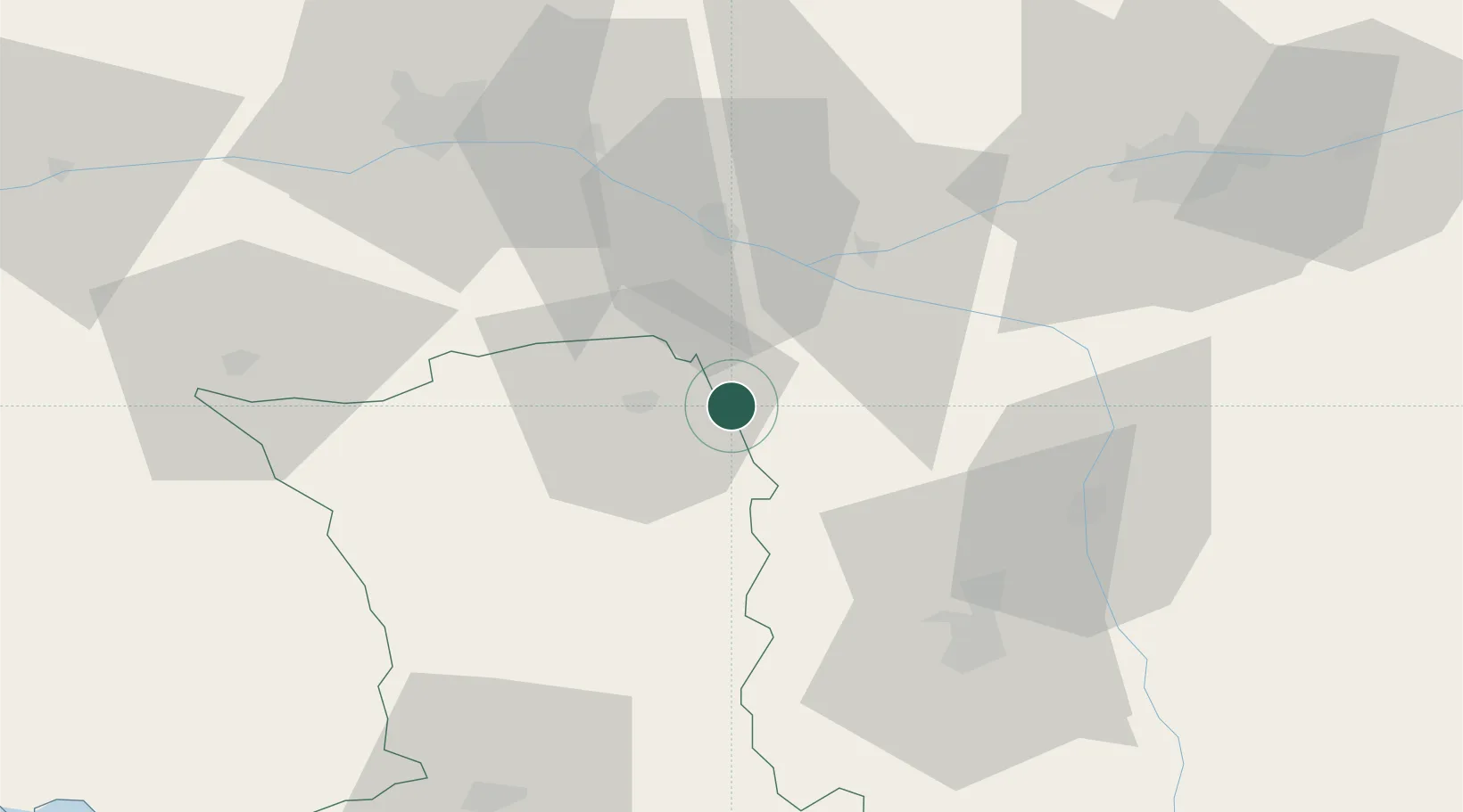
Hub Profile
Place type
Populated place
Region
Nouvelle-Aquitaine
Population
379
Time zone
Europe/Paris
Elevation
56 m
Location
Nearby Logistics Neighbours
Cities
- 1Oiron5 km
- 2Les Trois-Moutiers11 km
- 3Thouars13 km
- 4Sainte-Radegonde15 km
- 5Montreuil-Bellay18 km
Ports
- 1Nantes117 km
- 2La Rochelle125 km
- 3La Pallice127 km
- 4Tonnay Charente134 km
- 5Rochefort136 km
Airports
Trade Zones
- 1ZFU Angers69 km
- 2ZFU Le Mans112 km
- 3ZFU Blois120 km
- 4ZFU La Rochelle127 km
- 5ZFU Nantes et Saint-Herblain128 km
DatabookThe Record of Consolidated Knowledge
France beyond logistics?