UN/LOCODE hub · France
FR2RD
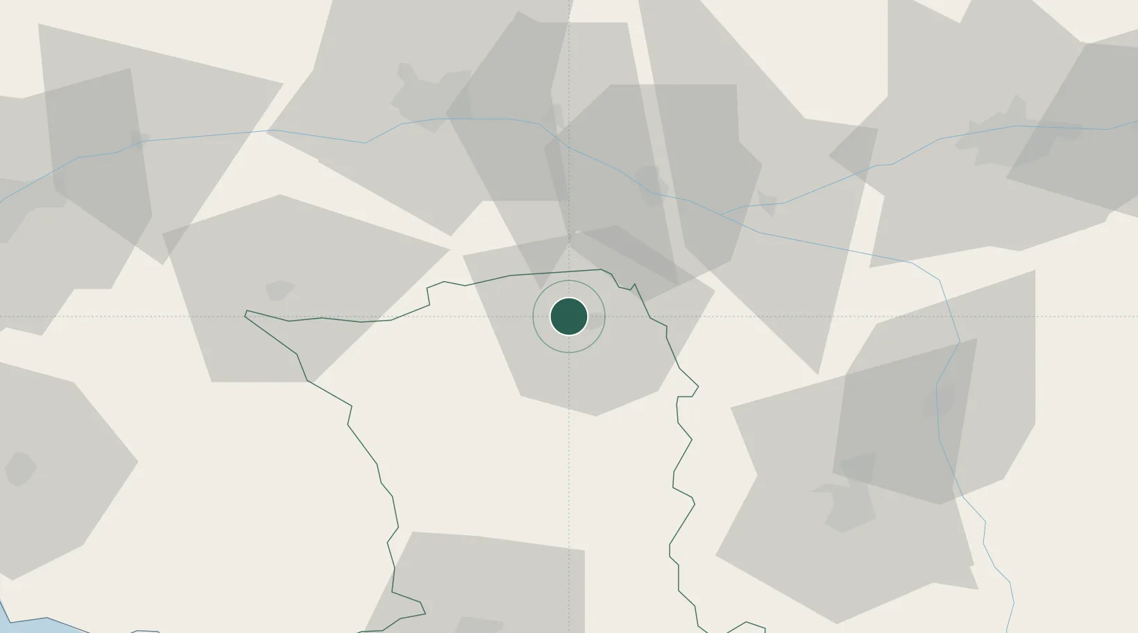
Sainte-Radegonde
47.0000°, -0.2500°
1,971
Population
1
Transport functions
Transport Functions
Multimodal
Hub Profile
Place type
Populated place
Region
Nouvelle-Aquitaine
Population
1,971
Time zone
Europe/Paris
Elevation
96 m
Location
Nearby Logistics Neighbours
Cities
- 1Thouars3 km
- 2Cersay8 km
- 3Le Puy-Notre-Dame13 km
- 4Oiron14 km
- 5Pas-de-Jeu15 km
Ports
- 1Nantes102 km
- 2La Rochelle117 km
- 3La Pallice119 km
- 4Tonnay Charente129 km
- 5Rochefort130 km
Airports
Trade Zones
- 1ZFU Angers60 km
- 2ZFU Nantes et Saint-Herblain113 km
- 3ZFU Le Mans113 km
- 4ZFU La Rochelle119 km
- 5ZFU Blois132 km
DatabookThe Record of Consolidated Knowledge
France beyond logistics?