Transport Functions
Multimodal
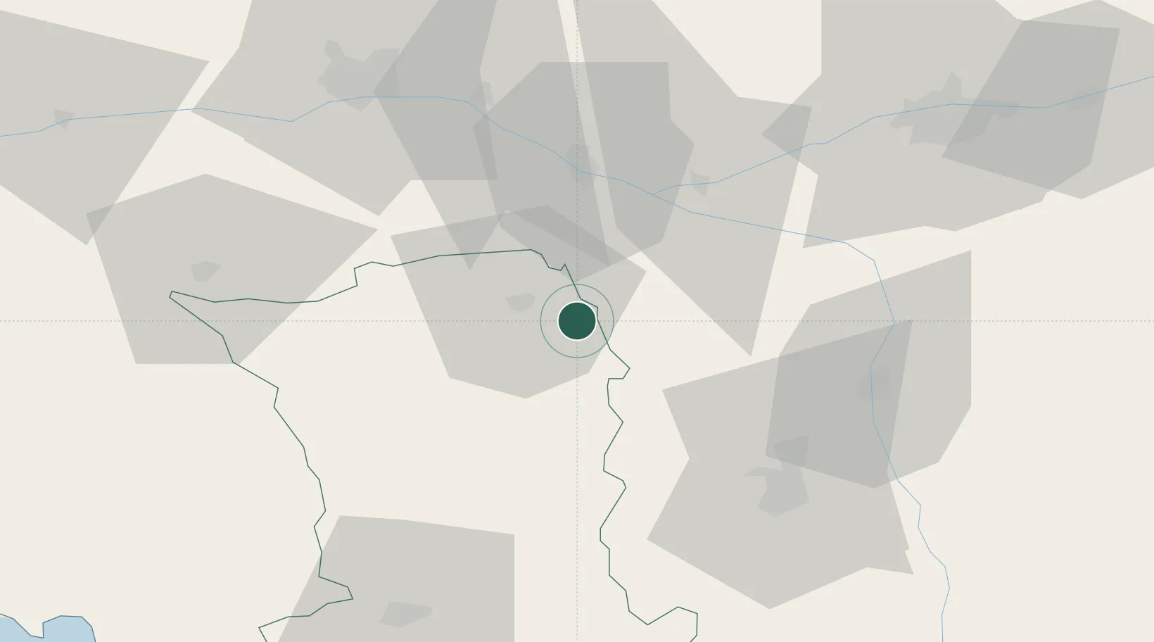
Hub Profile
Place type
Populated place
Region
Nouvelle-Aquitaine
Population
973
Time zone
Europe/Paris
Elevation
93 m
Location
Nearby Logistics Neighbours
Cities
- 1Pas-de-Jeu5 km
- 2Thouars11 km
- 3Sainte-Radegonde14 km
- 4Les Trois-Moutiers15 km
- 5Saint-Jean-de-Sauves19 km
Ports
- 1Nantes116 km
- 2La Rochelle121 km
- 3La Pallice123 km
- 4Tonnay Charente129 km
- 5Rochefort131 km
Airports
Trade Zones
- 1ZFU Angers71 km
- 2ZFU Le Mans116 km
- 3ZFU La Rochelle123 km
- 4ZFU Blois124 km
- 5ZFU Nantes et Saint-Herblain126 km
DatabookThe Record of Consolidated Knowledge
France beyond logistics?