Transport Functions
Multimodal
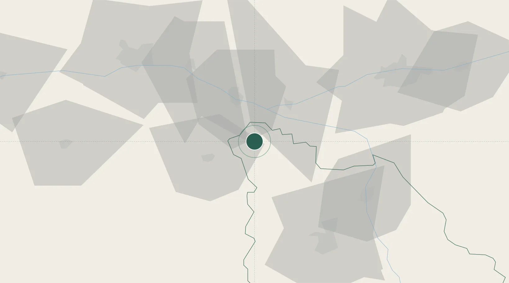
Hub Profile
Place type
Populated place
Region
Nouvelle-Aquitaine
Population
995
Time zone
Europe/Paris
Elevation
54 m
Location
Nearby Logistics Neighbours
Cities
- 1Pas-de-Jeu11 km
- 2Brézé12 km
- 3Castillon-de-Castets13 km
- 4Castelnau-de-Lévis13 km
- 5Le Subdray13 km
Ports
- 1Nantes121 km
- 2La Rochelle135 km
- 3La Pallice137 km
- 4Tonnay Charente144 km
- 5Rochefort146 km
Airports
Trade Zones
- 1ZFU Angers65 km
- 2ZFU Le Mans102 km
- 3ZFU Blois110 km
- 4ZFU Nantes et Saint-Herblain131 km
- 5ZFU La Rochelle138 km
DatabookThe Record of Consolidated Knowledge
France beyond logistics?