Transport Functions
Port
Rail
Hub Profile
Place type
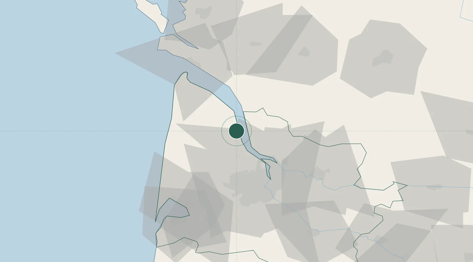
Populated place
Region
Nouvelle-Aquitaine
Population
5,792
Time zone
Europe/Paris
Elevation
14 m
Location
Nearby Logistics Neighbours
Cities
- 1Saint-Androny8 km
- 2Anglade9 km
- 3Saint-Seurin-de-Cadourne10 km
- 4Blaye10 km
- 5Cussac-Fort-Médoc10 km
Ports
- 1Blaye10 km
- 2Ambes27 km
- 3Bordeaux40 km
- 4Le Verdon45 km
- 5Tonnay Charente82 km
Airports
Trade Zones
- 1Port de Bordeaux36 km
- 2ZFU Hauts de Garonne43 km
- 3ZFU La Rochelle113 km
- 4Depósito Franco de Pasajes (Guipúzcoa)229 km
- 5ZFU Nantes et Saint-Herblain237 km
DatabookThe Record of Consolidated Knowledge
France beyond logistics?