UN/LOCODE hub · France
FRBYE

Blaye

45.1333°, -0.6667°
5,277
Population
2
Transport functions

Transport Functions

Port
Road
Blaye is also a profiled seaport →
UN/LOCODE

Hub Profile

Place type
District seat
GeoNames
Region
Nouvelle-Aquitaine
GeoNames
Population
5,277
GeoNames
Time zone
Europe/Paris
GeoNames
Elevation
11 m
GeoNames

Location

Location of FRBYE
Natural Earth 10m (public domain) · Nouvelle-Aquitaine · FRBYE · 45.13, -0.67GoogleOSMYandex

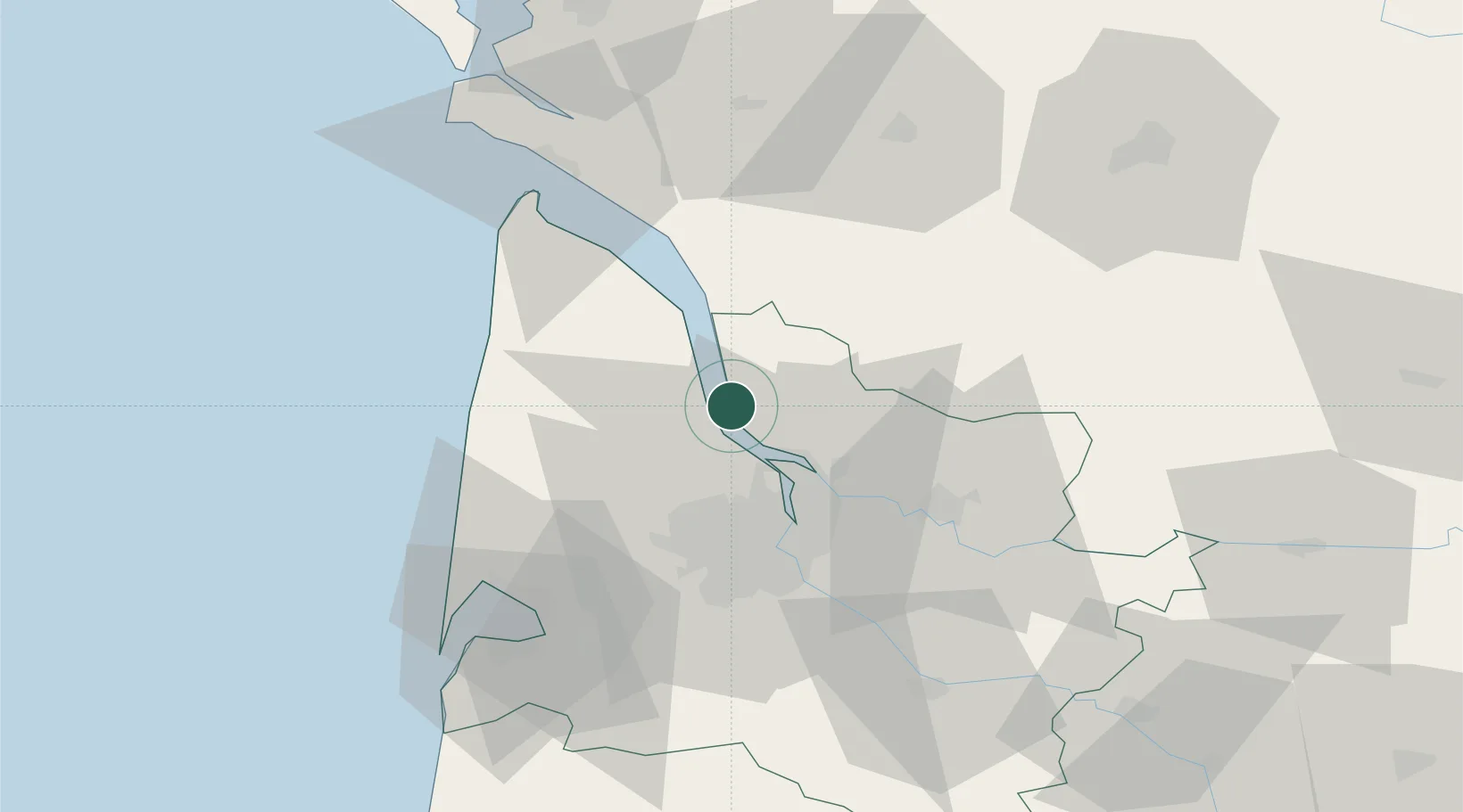
Nearby Logistics Neighbours

Cities
  1. 1Cussac-Fort-Médoc0 km
  2. 2Cars4 km
  3. 3Plassac4 km
  4. 4Lamarque5 km
  5. 5Saint-Androny6 km
Nearest neighbours — logibook spatial index (haversine) over the source coordinates
Ports
  1. 1Pauillac10 km
  2. 2Ambes17 km
  3. 3Bordeaux31 km
  4. 4Le Verdon55 km
  5. 5Tonnay Charente91 km
Nearest neighbours — logibook spatial index (haversine) over the source coordinates
Airports
  1. 1Bordeaux–Mérignac Airport34 km
  2. 2Royan-Médis Airport60 km
  3. 3Cognac-Châteaubernard (BA 709) Air Base64 km
  4. 4Aérodrome d'Arcachon-La Teste-de-Buch69 km
  5. 5Cazaux (BA 120) Air Base76 km
Nearest neighbours — logibook spatial index (haversine) over the source coordinates
Trade Zones
  1. 1Port de Bordeaux27 km
  2. 2ZFU Hauts de Garonne35 km
  3. 3ZFU La Rochelle122 km
  4. 4Depósito Franco de Pasajes (Guipúzcoa)225 km
  5. 5ZFU Toulouse239 km
Nearest neighbours — logibook spatial index (haversine) over the source coordinates
DatabookThe Record of Consolidated Knowledge
France beyond logistics?
Browse databook

All Sources

LocationsUN/LOCODE
UN/LOCODE — free
LocationsGeoNames
CC BY 4.0
Portsthe NGA World Port Index
Public domain (US gov)
AirportsOurAirports
Public domain
Trade Zonesthe World Bank SEZ database
CC BY 4.0
Trade ZonesOpen Zone Map
CC BY
← France locations