UN/LOCODE hub · France
FRCFQ
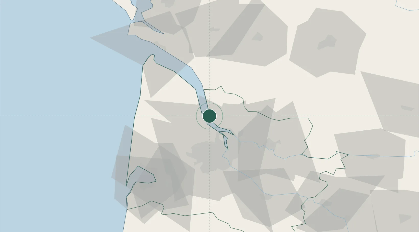
Cussac-Fort-Médoc
45.1333°, -0.6667°
1,473
Population
2
Transport functions
Transport Functions
Road
Multimodal
Hub Profile
Place type
Populated place
Region
Nouvelle-Aquitaine
Population
1,473
Time zone
Europe/Paris
Elevation
16 m
Location
Nearby Logistics Neighbours
Cities
- 1Blaye0 km
- 2Cars4 km
- 3Plassac4 km
- 4Lamarque5 km
- 5Saint-Androny6 km
Airports
Trade Zones
- 1Port de Bordeaux27 km
- 2ZFU Hauts de Garonne35 km
- 3ZFU La Rochelle122 km
- 4Depósito Franco de Pasajes (Guipúzcoa)225 km
- 5ZFU Toulouse239 km
DatabookThe Record of Consolidated Knowledge
France beyond logistics?