Transport Functions
Multimodal
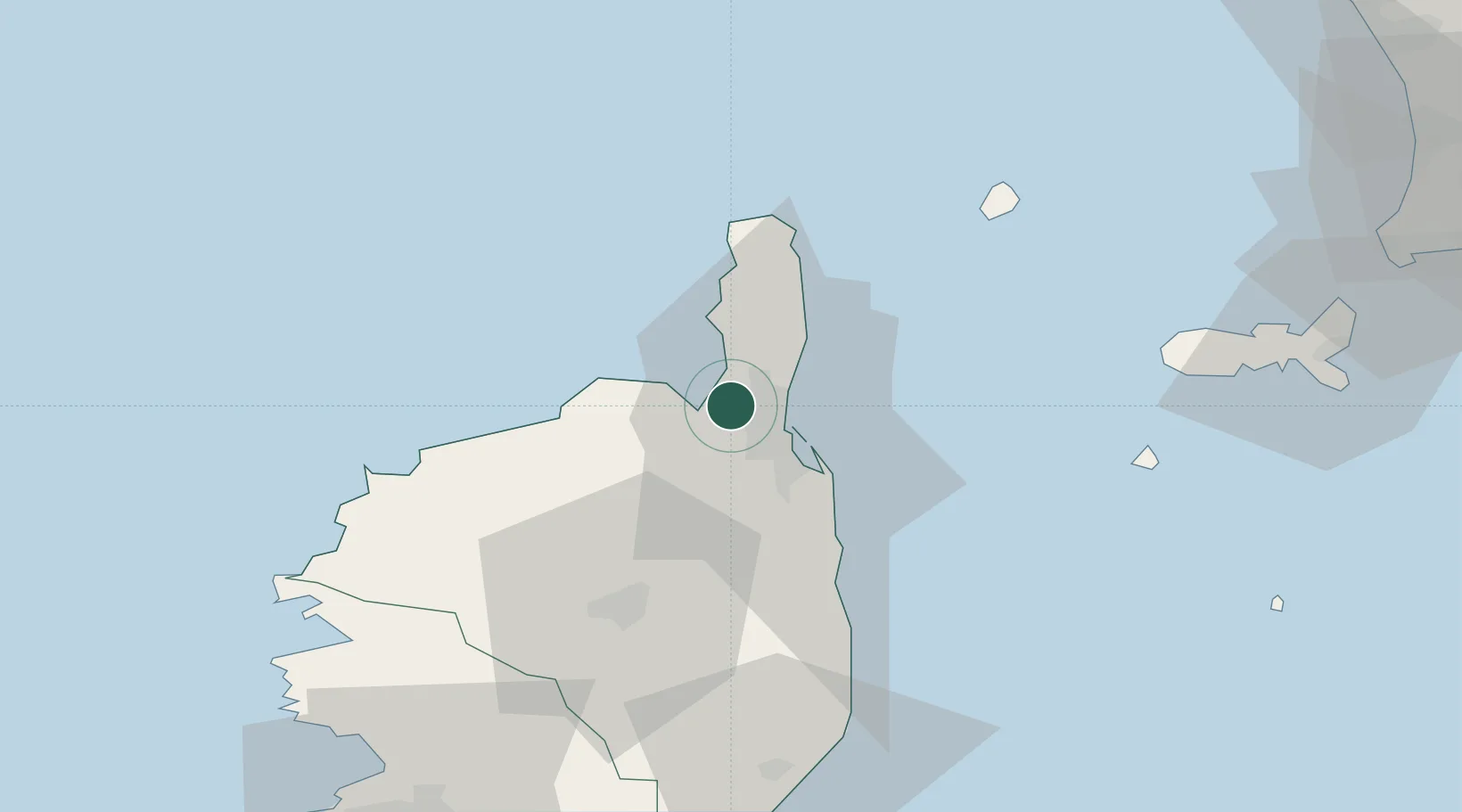
Hub Profile
Place type
Populated place
Region
Corsica
Population
665
Time zone
Europe/Paris
Elevation
105 m
Location
Nearby Logistics Neighbours
Ports
- 1Bastia8 km
- 2L'ile Rousse35 km
- 3Calvi51 km
- 4Portoferraio82 km
- 5Port D' Ajaccio99 km
Airports
Trade Zones
- 1ZFU LAriane205 km
- 2Sardinia Special Economic Zone Area235 km
- 3ZFU Toulon282 km
- 4ZFU La Seyne-sur-Mer289 km
- 5Abruzzo Special Economic Zone330 km
DatabookThe Record of Consolidated Knowledge
France beyond logistics?