Transport Functions
Port
Road
Airport
Postal
Hub Profile
Place type
Provincial seat
Region
Corsica
Population
41,001
Time zone
Europe/Paris
Elevation
1 m
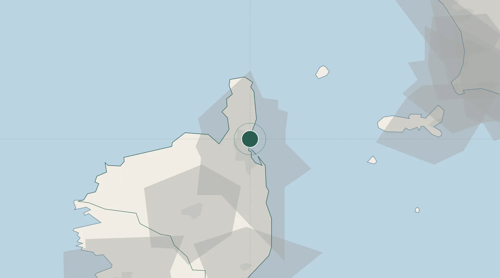
Location
Nearby Logistics Neighbours
Cities
- 1Furiani6 km
- 2Barbaggio7 km
- 3Patrimonio8 km
- 4Borgo17 km
- 5Vescovato24 km
Ports
- 1L'ile Rousse43 km
- 2Calvi59 km
- 3Portoferraio73 km
- 4Portovecchio Di Piombino94 km
- 5Port D' Ajaccio104 km
Airports
Trade Zones
- 1ZFU LAriane211 km
- 2Sardinia Special Economic Zone Area238 km
- 3ZFU Toulon290 km
- 4ZFU La Seyne-sur-Mer297 km
- 5Abruzzo Special Economic Zone322 km
DatabookThe Record of Consolidated Knowledge
France beyond logistics?