Transport Functions
Rail
Road
Hub Profile
Place type
Populated place
Region
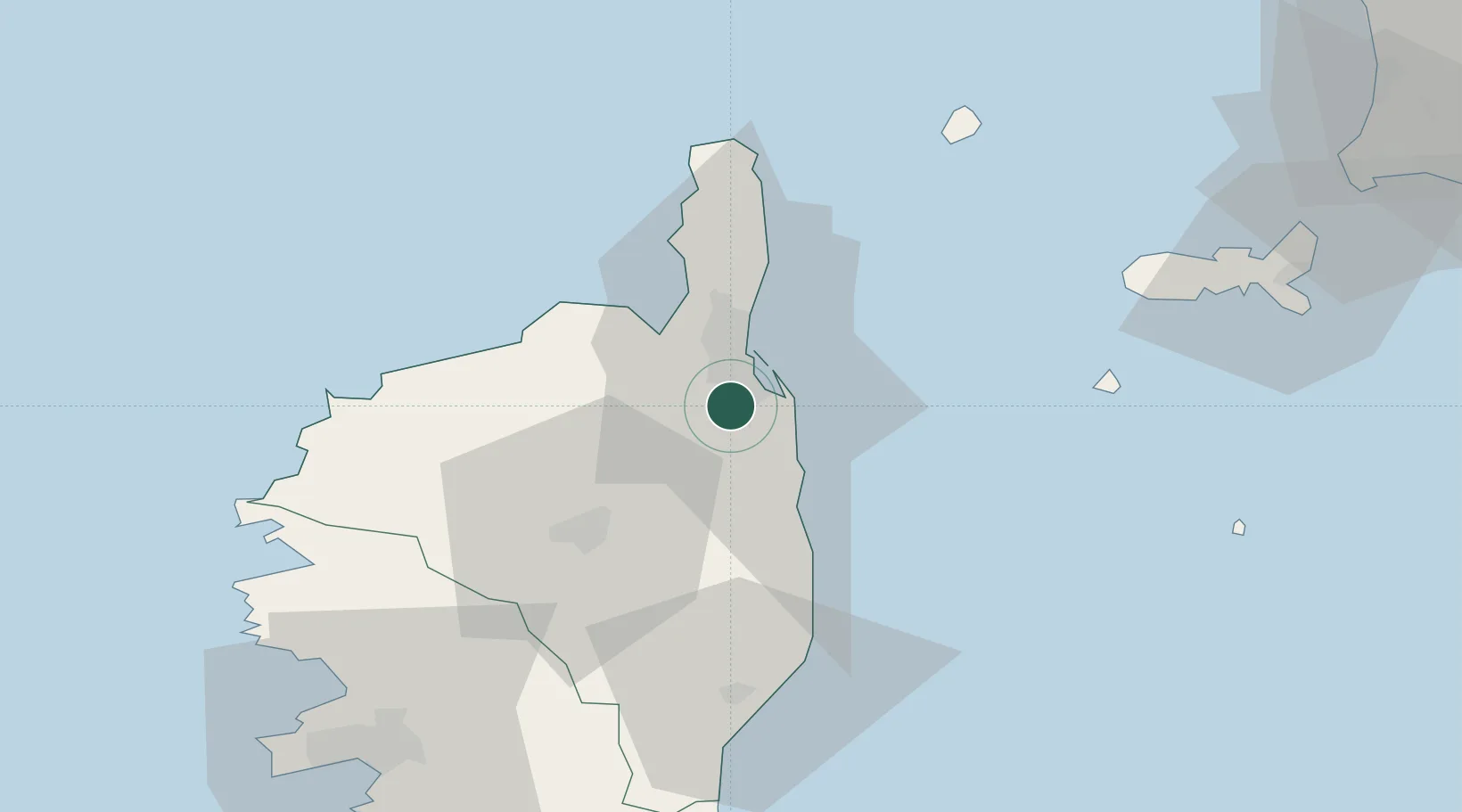
Corsica
Population
5,538
Time zone
Europe/Paris
Elevation
266 m
Location
Nearby Logistics Neighbours
Cities
- 1Vescovato8 km
- 2Furiani11 km
- 3Barbaggio15 km
- 4Patrimonio16 km
- 5Bastia17 km
Ports
- 1Bastia17 km
- 2L'ile Rousse41 km
- 3Calvi55 km
- 4Portoferraio81 km
- 5Port D' Ajaccio89 km
Airports
Trade Zones
- 1ZFU LAriane218 km
- 2Sardinia Special Economic Zone Area221 km
- 3ZFU Toulon291 km
- 4ZFU La Seyne-sur-Mer297 km
- 5Abruzzo Special Economic Zone323 km
DatabookThe Record of Consolidated Knowledge
France beyond logistics?