Transport Functions
Rail
Road
Hub Profile
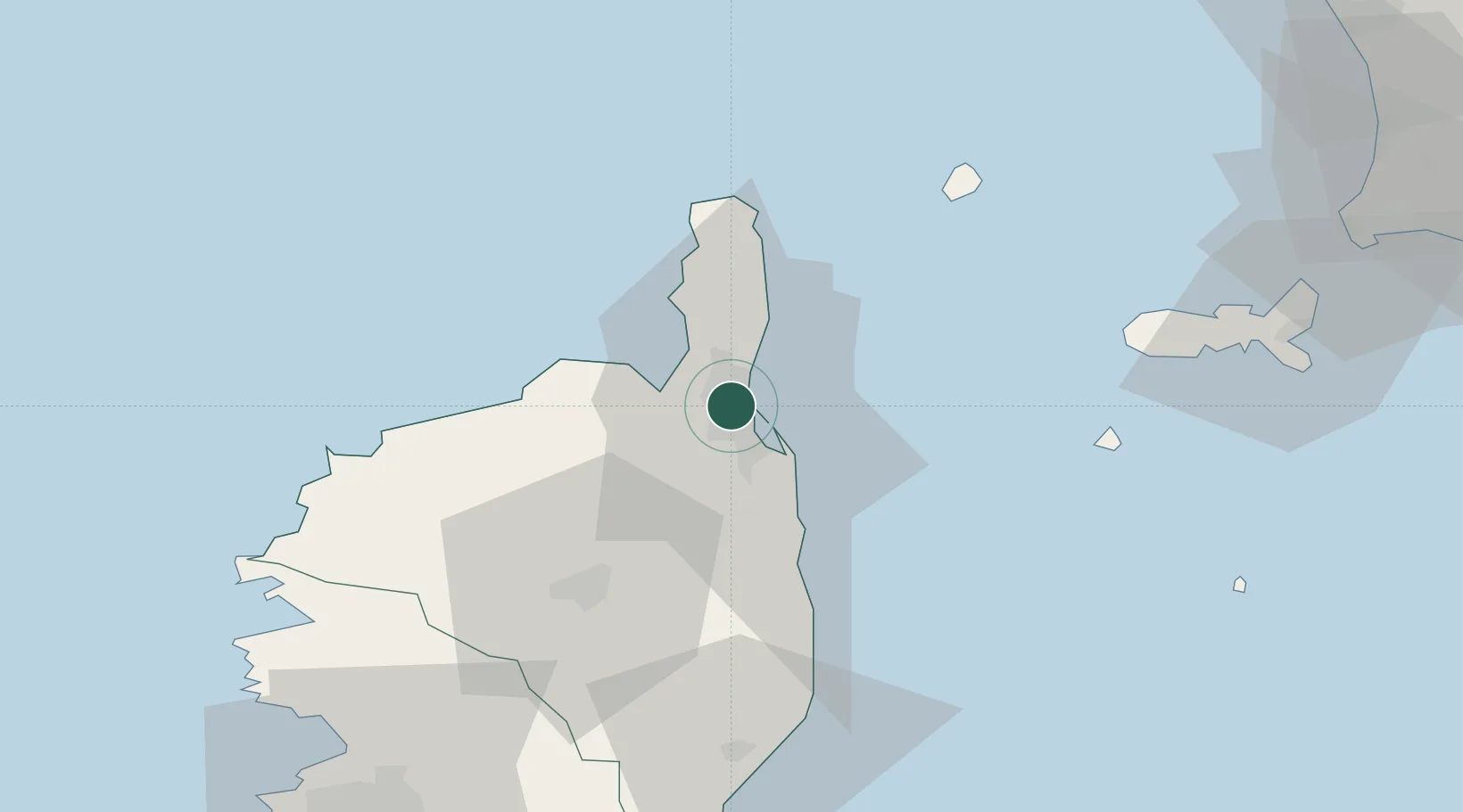
Place type
Populated place
Region
Corsica
Population
4,337
Time zone
Europe/Paris
Elevation
210 m
Location
Nearby Logistics Neighbours
Cities
- 1Barbaggio6 km
- 2Bastia6 km
- 3Patrimonio7 km
- 4Borgo11 km
- 5Vescovato19 km
Ports
- 1Bastia6 km
- 2L'ile Rousse40 km
- 3Calvi55 km
- 4Portoferraio77 km
- 5Portovecchio Di Piombino98 km
Airports
Trade Zones
- 1ZFU LAriane212 km
- 2Sardinia Special Economic Zone Area232 km
- 3ZFU Toulon288 km
- 4ZFU La Seyne-sur-Mer295 km
- 5Abruzzo Special Economic Zone324 km
DatabookThe Record of Consolidated Knowledge
France beyond logistics?