Transport Functions
Multimodal
Hub Profile
Place type
Populated place
Region
Nouvelle-Aquitaine
Population
1,356
Time zone
Europe/Paris
Elevation
166 m
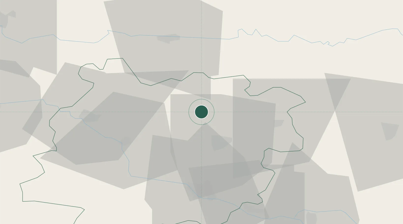
Location
Nearby Logistics Neighbours
Cities
- 1Casseneuil9 km
- 2Castelmoron-sur-Lot18 km
- 3Monségur21 km
- 4Trentels22 km
- 5Singleyrac24 km
Airports
Trade Zones
- 1ZFU Hauts de Garonne101 km
- 2Port de Bordeaux101 km
- 3ZFU Toulouse122 km
- 4ZFU La Rochelle232 km
- 5ZFU Clermont-Ferrand237 km
DatabookThe Record of Consolidated Knowledge
France beyond logistics?