Transport Functions
Road
Multimodal
Hub Profile
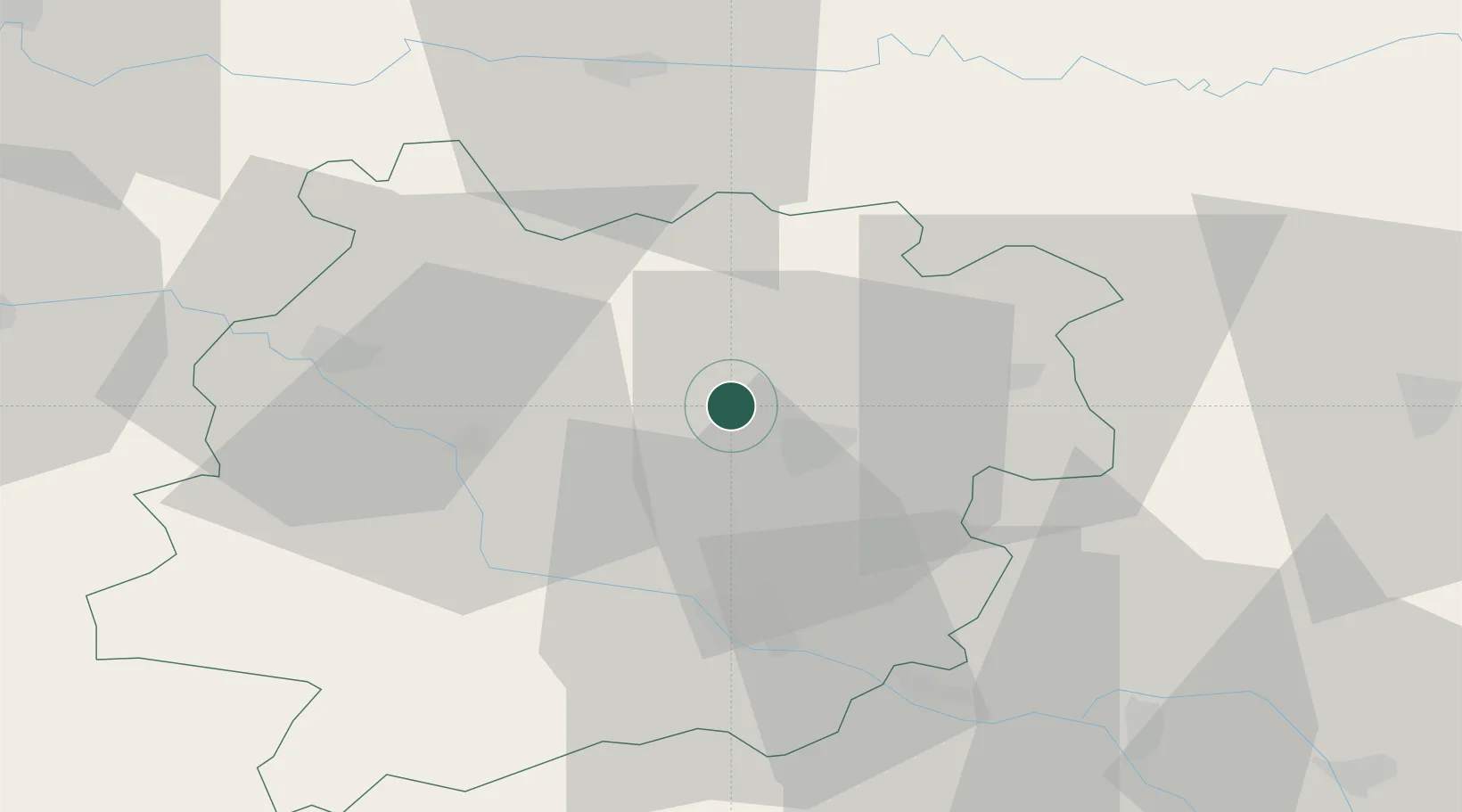
Place type
Populated place
Region
Nouvelle-Aquitaine
Population
2,476
Time zone
Europe/Paris
Elevation
49 m
Location
Nearby Logistics Neighbours
Cities
- 1Cancon9 km
- 2Castelmoron-sur-Lot11 km
- 3Lacépède18 km
- 4Trentels20 km
- 5Bourran22 km
Airports
Trade Zones
- 1ZFU Hauts de Garonne103 km
- 2Port de Bordeaux105 km
- 3ZFU Toulouse115 km
- 4ZFU La Rochelle238 km
- 5Depósito Franco de Pasajes (Guipúzcoa)239 km
DatabookThe Record of Consolidated Knowledge
France beyond logistics?