Transport Functions
Port
Rail
Hub Profile
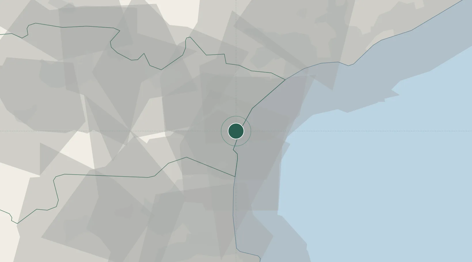
Place type
Populated place
Region
Occitanie
Population
6,000
Time zone
Europe/Paris
Elevation
5 m
Location
Nearby Logistics Neighbours
Cities
- 1La Palme7 km
- 2Roquefort-des-Corbières9 km
- 3Peyriac-de-Mer10 km
- 4Leucate11 km
- 5Treilles14 km
Ports
- 1Port-Vendres56 km
- 2Sete68 km
- 3Rosas84 km
- 4Palamos132 km
- 5San Feliu De Guixols137 km
Airports
Trade Zones
- 1ZFU Perpignan38 km
- 2ZFU Béziers38 km
- 3ZFU Montpellier92 km
- 4ZFU Nîmes138 km
- 5ZFU Toulouse146 km
DatabookThe Record of Consolidated Knowledge
France beyond logistics?