Transport Functions
Multimodal
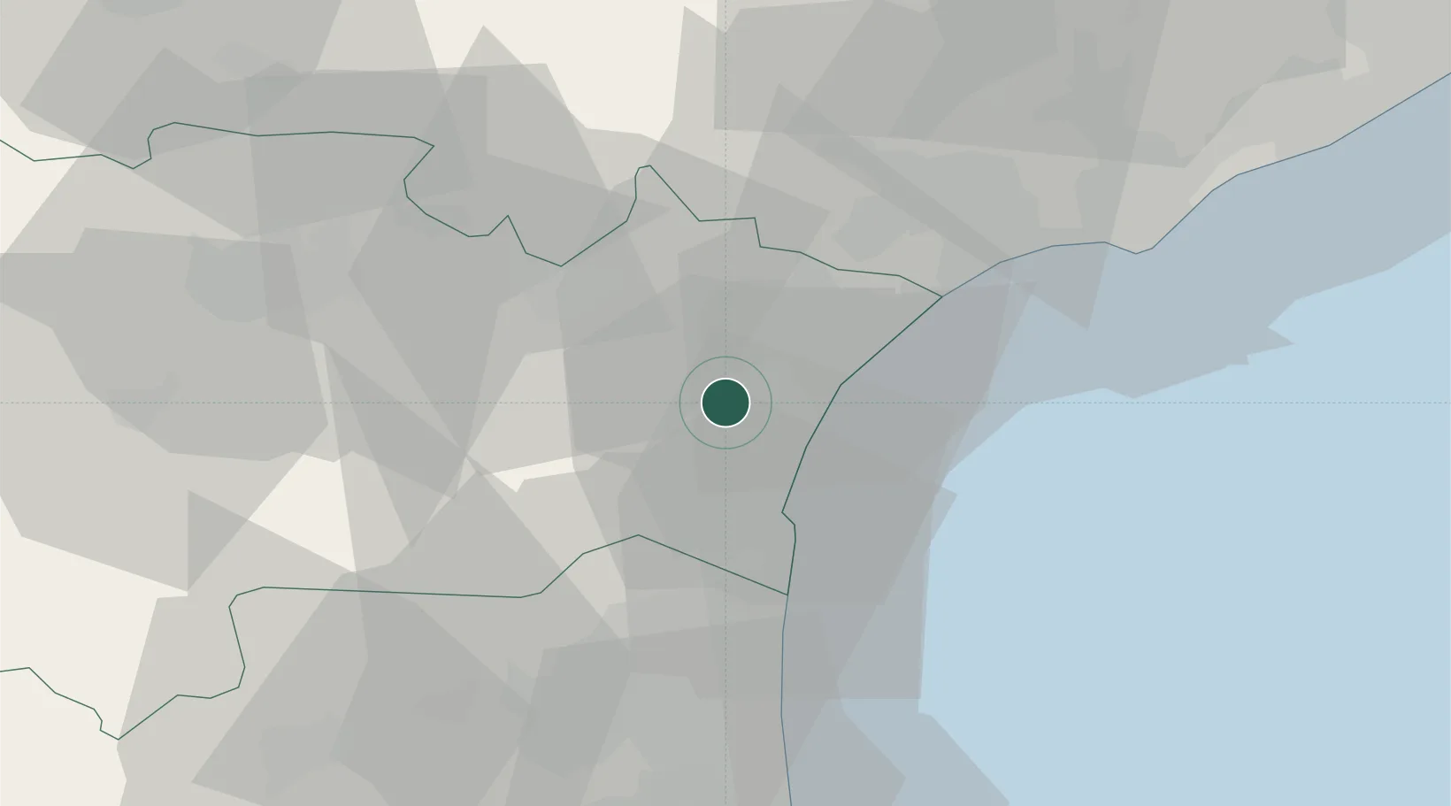
Hub Profile
Place type
Populated place
Region
Occitanie
Population
1,032
Time zone
Europe/Paris
Elevation
12 m
Location
Nearby Logistics Neighbours
Cities
- 1Port-la-Nouvelle10 km
- 2Roquefort-des-Corbières11 km
- 3Saint-André-de-Roquelongue11 km
- 4Narbonne11 km
- 5Villesèque-des-Corbières12 km
Ports
- 1Port-La-Nouvelle11 km
- 2Port-Vendres64 km
- 3Sete69 km
- 4Rosas93 km
- 5Palamos140 km
Airports
Trade Zones
- 1ZFU Béziers35 km
- 2ZFU Perpignan43 km
- 3ZFU Montpellier92 km
- 4ZFU Toulouse136 km
- 5ZFU Nîmes138 km
DatabookThe Record of Consolidated Knowledge
France beyond logistics?