UN/LOCODE hub · France
FRBKD

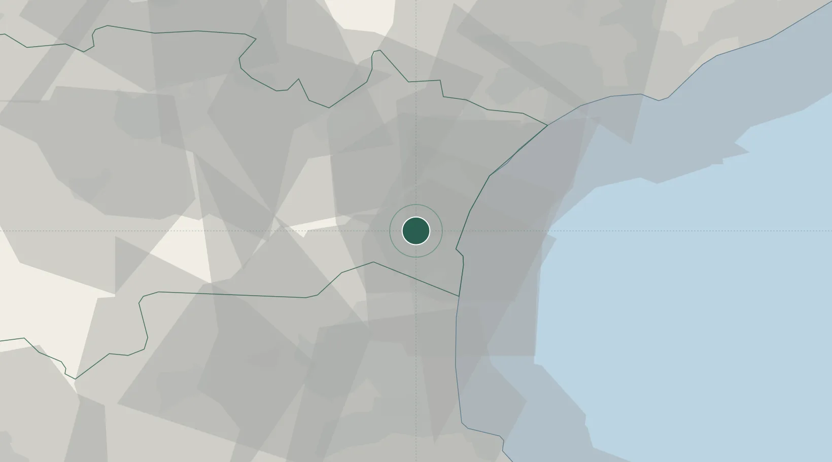
Roquefort-des-Corbières

42.9833°, 2.9500°
891
Population
2
Transport functions

Transport Functions

Port
Multimodal
UN/LOCODE

Hub Profile

Place type
Populated place
GeoNames
Region
Occitanie
GeoNames
Population
891
GeoNames
Time zone
Europe/Paris
GeoNames
Elevation
53 m
GeoNames

Location

Location of FRBKD
Natural Earth 10m (public domain) · Occitanie · FRBKD · 42.98, 2.95GoogleOSMYandex

Nearby Logistics Neighbours

Cities
  1. 1La Palme5 km
  2. 2Feuilla6 km
  3. 3Fraissé-des-Corbières7 km
  4. 4Treilles7 km
  5. 5Port-la-Nouvelle9 km
Nearest neighbours — logibook spatial index (haversine) over the source coordinates
Ports
  1. 1Port-La-Nouvelle10 km
  2. 2Port-Vendres54 km
  3. 3Sete76 km
  4. 4Rosas82 km
  5. 5Palamos129 km
Nearest neighbours — logibook spatial index (haversine) over the source coordinates
Airports
  1. 1Perpignan-Rivesaltes (Llabanère) Airport28 km
  2. 2Béziers Vias airport50 km
  3. 3Carcassonne Salvaza Airport58 km
  4. 4Castres Mazamet Airport83 km
  5. 5Montpellier-Méditerranée Airport105 km
Nearest neighbours — logibook spatial index (haversine) over the source coordinates
Trade Zones
  1. 1ZFU Perpignan32 km
  2. 2ZFU Béziers45 km
  3. 3ZFU Montpellier100 km
  4. 4ZFU Toulouse140 km
  5. 5ZFU Nîmes146 km
Nearest neighbours — logibook spatial index (haversine) over the source coordinates
DatabookThe Record of Consolidated Knowledge
France beyond logistics?
Browse databook

All Sources

LocationsUN/LOCODE
UN/LOCODE — free
LocationsGeoNames
CC BY 4.0
Portsthe NGA World Port Index
Public domain (US gov)
AirportsOurAirports
Public domain
Trade Zonesthe World Bank SEZ database
CC BY 4.0
Trade ZonesOpen Zone Map
CC BY
← France locations