UN/LOCODE hub · France
FRTR6

Treilles

42.9167°, 2.9500°
172
Population
1
Transport functions

Transport Functions

Multimodal
UN/LOCODE

Hub Profile

Place type
Populated place
GeoNames
Region
Occitanie
GeoNames
Population
172
GeoNames
Time zone
Europe/Paris
GeoNames
Elevation
125 m
GeoNames

Location

Location of FRTR6
Natural Earth 10m (public domain) · Occitanie · FRTR6 · 42.92, 2.95GoogleOSMYandex

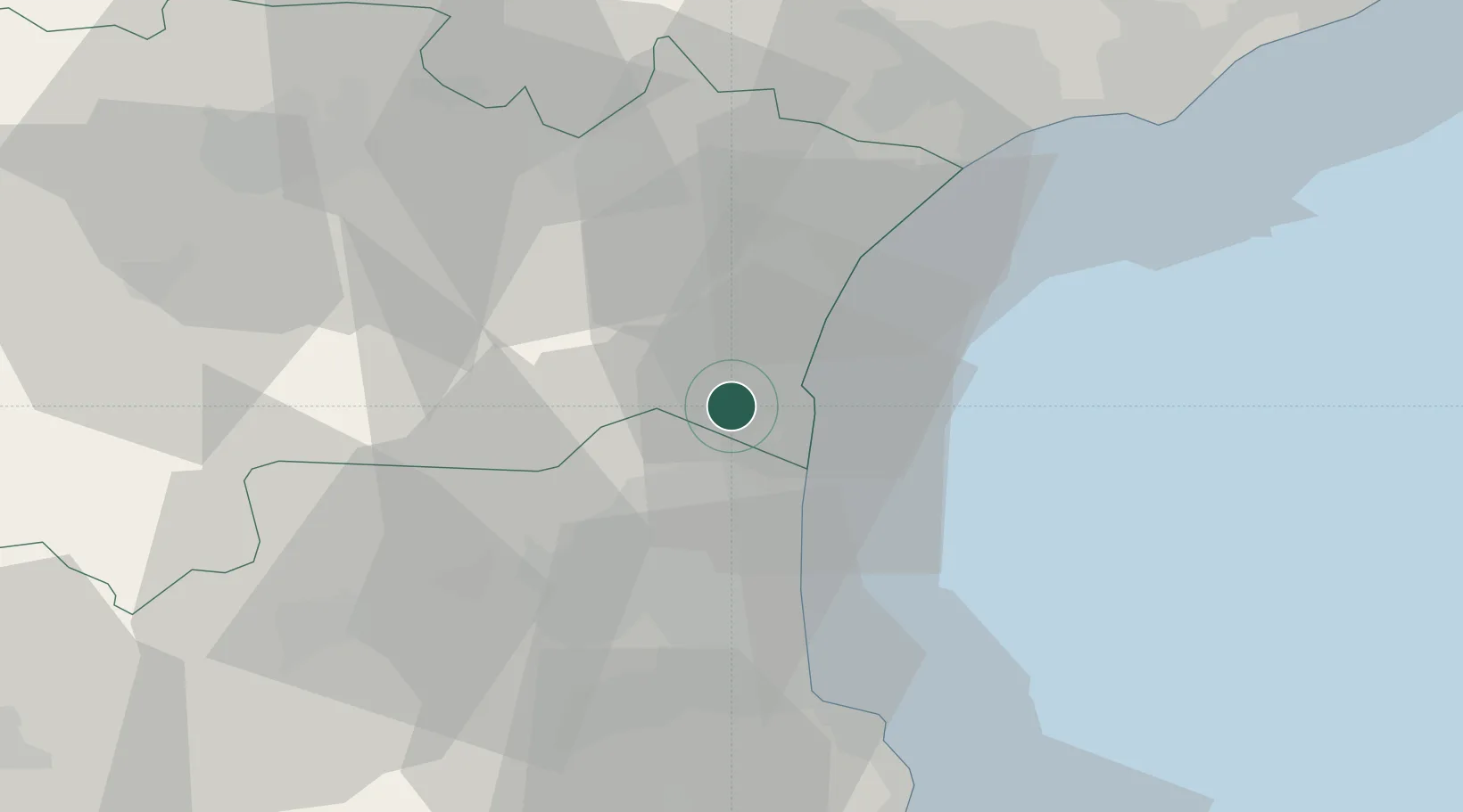
Nearby Logistics Neighbours

Cities
  1. 1Feuilla3 km
  2. 2Fitou3 km
  3. 3Leucate7 km
  4. 4La Palme7 km
  5. 5Roquefort-des-Corbières7 km
Nearest neighbours — logibook spatial index (haversine) over the source coordinates
Ports
  1. 1Port-La-Nouvelle15 km
  2. 2Port-Vendres47 km
  3. 3Rosas75 km
  4. 4Sete81 km
  5. 5Palamos121 km
Nearest neighbours — logibook spatial index (haversine) over the source coordinates
Airports
  1. 1Perpignan-Rivesaltes (Llabanère) Airport21 km
  2. 2Béziers Vias airport56 km
  3. 3Carcassonne Salvaza Airport62 km
  4. 4Castres Mazamet Airport89 km
  5. 5Montpellier-Méditerranée Airport110 km
Nearest neighbours — logibook spatial index (haversine) over the source coordinates
Trade Zones
  1. 1ZFU Perpignan25 km
  2. 2ZFU Béziers51 km
  3. 3ZFU Montpellier106 km
  4. 4ZFU Toulouse144 km
  5. 5ZFU Nîmes151 km
Nearest neighbours — logibook spatial index (haversine) over the source coordinates
DatabookThe Record of Consolidated Knowledge
France beyond logistics?
Browse databook

All Sources

LocationsUN/LOCODE
UN/LOCODE — free
LocationsGeoNames
CC BY 4.0
Portsthe NGA World Port Index
Public domain (US gov)
AirportsOurAirports
Public domain
Trade Zonesthe World Bank SEZ database
CC BY 4.0
Trade ZonesOpen Zone Map
CC BY
← France locations