Transport Functions
Port
Road
Hub Profile
Place type
Populated place
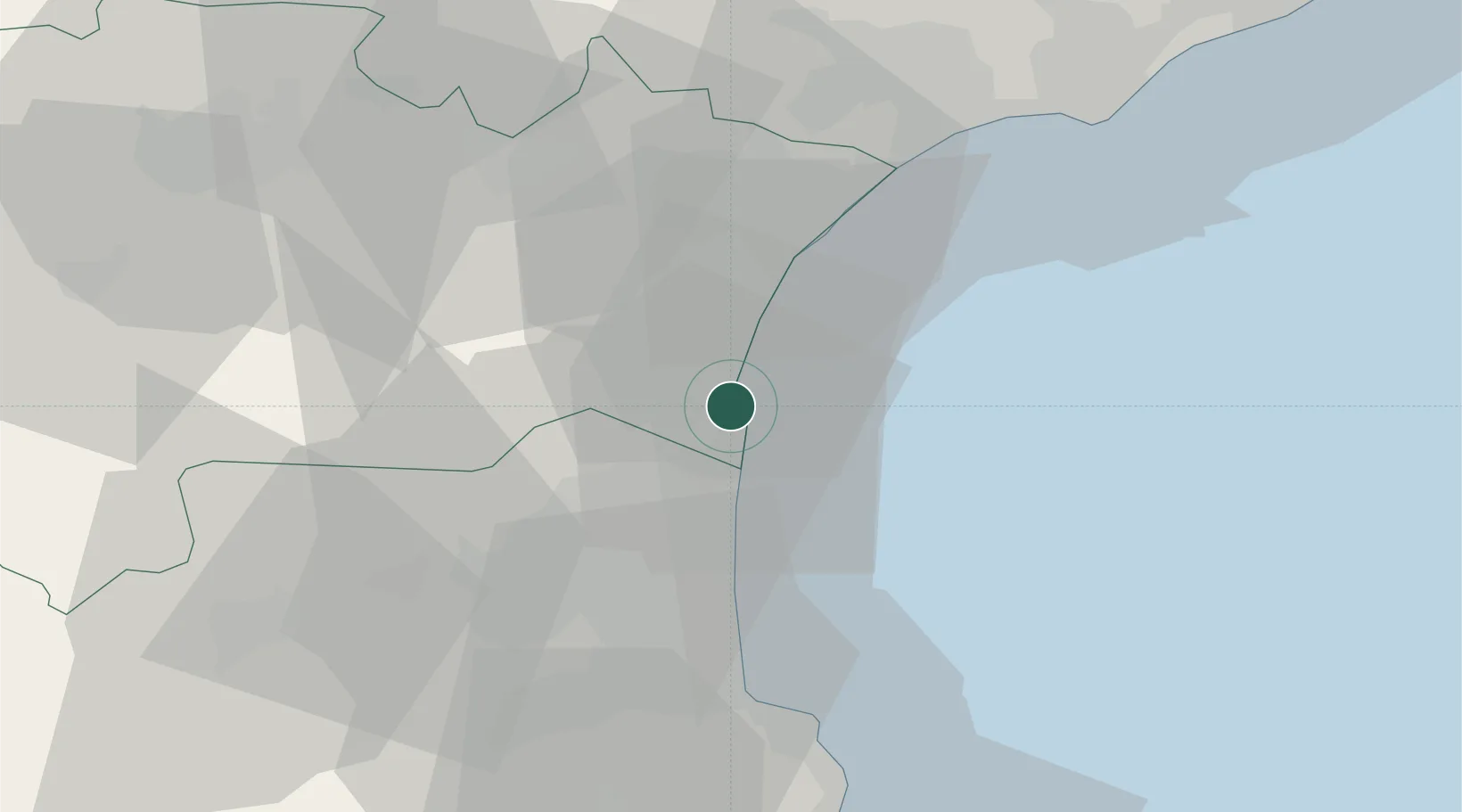
Region
Occitanie
Population
3,539
Time zone
Europe/Paris
Elevation
30 m
Location
Nearby Logistics Neighbours
Cities
- 1Fitou5 km
- 2La Palme6 km
- 3Treilles7 km
- 4Feuilla10 km
- 5Roquefort-des-Corbières10 km
Ports
- 1Port-La-Nouvelle11 km
- 2Port-Vendres45 km
- 3Rosas73 km
- 4Sete76 km
- 5Palamos121 km
Airports
Trade Zones
- 1ZFU Perpignan27 km
- 2ZFU Béziers49 km
- 3ZFU Montpellier101 km
- 4ZFU Nîmes146 km
- 5ZFU Toulouse150 km
DatabookThe Record of Consolidated Knowledge
France beyond logistics?