Transport Functions
Multimodal
Hub Profile
Place type
Populated place
Region
Bourgogne
Population
334
Time zone
Europe/Paris
Elevation
224 m
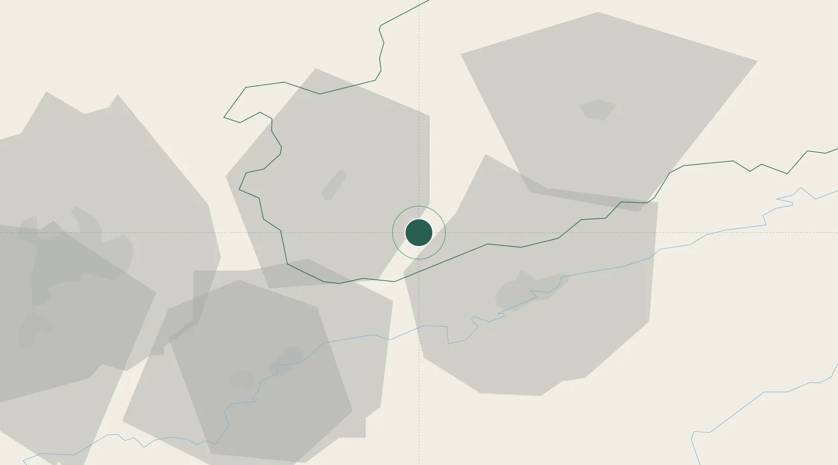
Location
Nearby Logistics Neighbours
Cities
- 1Lantenne-Vertière15 km
- 2Vaux-les-Prés17 km
- 3Miserey-Salines17 km
- 4Arc-lès-Gray18 km
- 5Sauvigney-lès-Pesmes18 km
Ports
- 1Savona399 km
- 2Rada Di Vado402 km
- 3Bruxelles403 km
- 4Genova410 km
- 5Port Of Rouen418 km
Airports
Trade Zones
- 1ZFU Besancon22 km
- 2ZFU Chenôve61 km
- 3ZFU Montbéliard77 km
- 4ZFU Belfort83 km
- 5PESA - Port-Franc et Entrepôts de Lausanne-Chavornay SA94 km
DatabookThe Record of Consolidated Knowledge
France beyond logistics?