Transport Functions
Road
Multimodal
Hub Profile
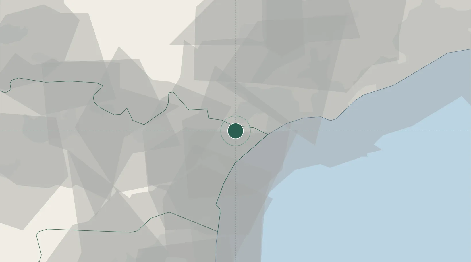
Place type
Populated place
Region
Occitanie
Time zone
Europe/Paris
Elevation
20 m
Location
Nearby Logistics Neighbours
Cities
- 1Fleury2 km
- 2Coursan4 km
- 3Lespignan6 km
- 4Nissan-lez-Enserune6 km
- 5Armissan6 km
Ports
- 1Port-La-Nouvelle24 km
- 2Sete51 km
- 3Port-Vendres80 km
- 4Rosas108 km
- 5Port Saint Louis Du Rhone139 km
Airports
Trade Zones
- 1ZFU Béziers14 km
- 2ZFU Perpignan62 km
- 3ZFU Montpellier72 km
- 4ZFU Nîmes119 km
- 5ZFU Toulouse141 km
DatabookThe Record of Consolidated Knowledge
France beyond logistics?