Transport Functions
Multimodal
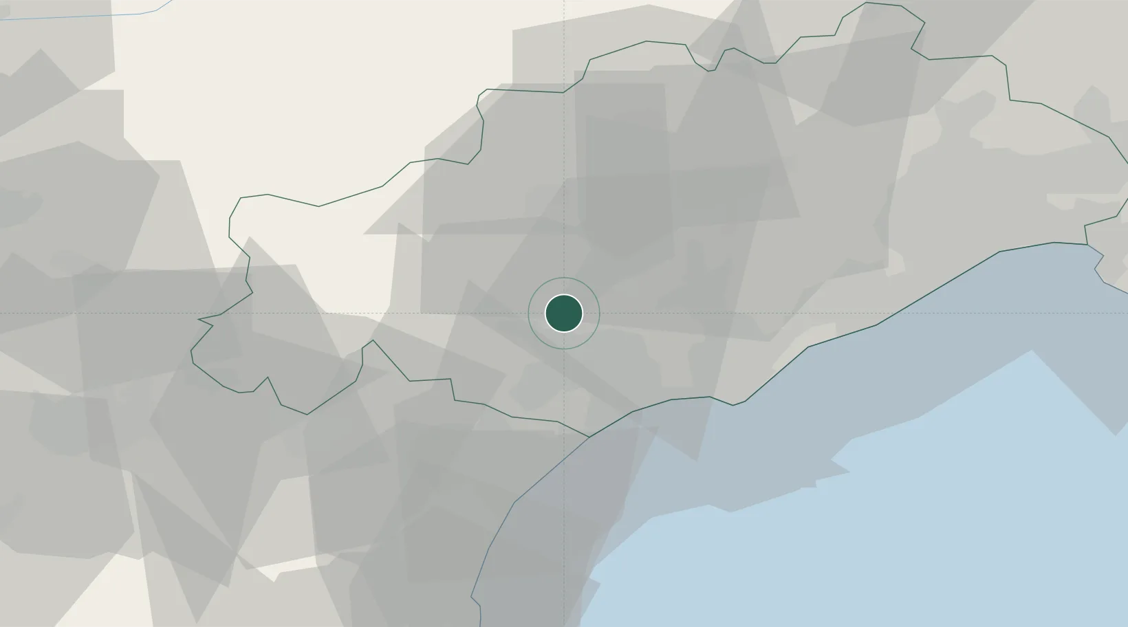
Hub Profile
Place type
Populated place
Region
Occitanie
Population
887
Time zone
Europe/Paris
Elevation
118 m
Location
Nearby Logistics Neighbours
Cities
- 1Puissalicon0 km
- 2Magalas4 km
- 3Corneilhan4 km
- 4Murviel5 km
- 5Pouzolles8 km
Ports
- 1Sete41 km
- 2Port-La-Nouvelle48 km
- 3Port-Vendres102 km
- 4Rosas130 km
- 5Port Saint Louis Du Rhone131 km
Airports
Trade Zones
- 1ZFU Béziers11 km
- 2ZFU Montpellier56 km
- 3ZFU Perpignan85 km
- 4ZFU Nîmes102 km
- 5ZFU Avignon141 km
DatabookThe Record of Consolidated Knowledge
France beyond logistics?