Transport Functions
Port
Multimodal
Hub Profile
Region
34
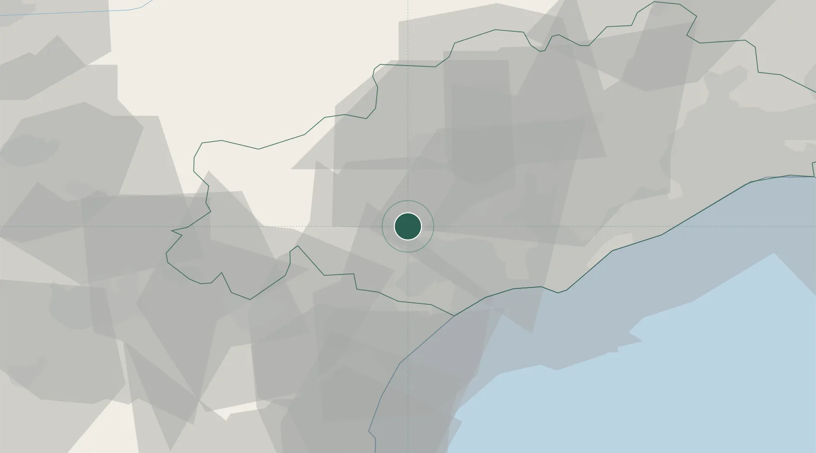
Location
Nearby Logistics Neighbours
Cities
- 1Puimisson5 km
- 2Puissalicon5 km
- 3Causses-et-Veyran6 km
- 4Corneilhan6 km
- 5Magalas8 km
Ports
- 1Sete46 km
- 2Port-La-Nouvelle47 km
- 3Port-Vendres102 km
- 4Rosas130 km
- 5Port Saint Louis Du Rhone136 km
Airports
Trade Zones
- 1ZFU Béziers13 km
- 2ZFU Montpellier61 km
- 3ZFU Perpignan84 km
- 4ZFU Nîmes107 km
- 5ZFU Toulouse138 km
DatabookThe Record of Consolidated Knowledge
France beyond logistics?