Transport Functions
Road
Multimodal
Hub Profile
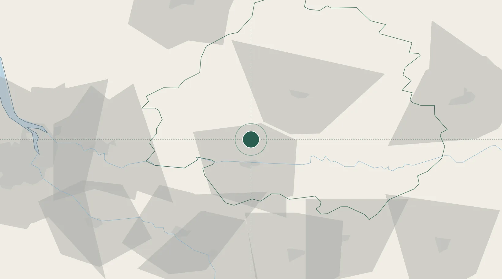
Place type
Populated place
Region
Nouvelle-Aquitaine
Population
365
Time zone
Europe/Paris
Elevation
56 m
Location
Nearby Logistics Neighbours
Cities
- 1Montagnac-la-Crempse4 km
- 2Villamblard7 km
- 3Lunas10 km
- 4Mussidan13 km
- 5Montpeyroux14 km
Airports
Trade Zones
- 1Port de Bordeaux82 km
- 2ZFU Hauts de Garonne86 km
- 3ZFU Toulouse169 km
- 4ZFU La Rochelle188 km
- 5ZFU Clermont-Ferrand221 km
DatabookThe Record of Consolidated Knowledge
France beyond logistics?