Transport Functions
Rail
Postal
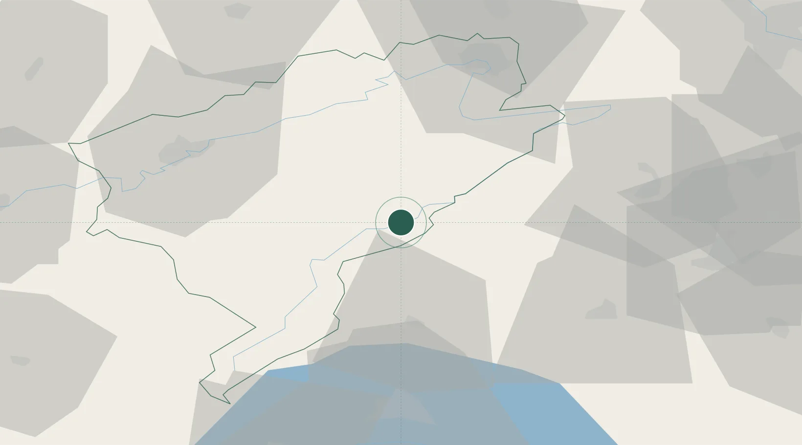
Hub Profile
Place type
Populated place
Region
Bourgogne
Population
6,343
Time zone
Europe/Paris
Elevation
769 m
Location
Nearby Logistics Neighbours
Cities
- 1Montlebon2 km
- 2Le Crêt-du-Locle14 km
- 3Travers14 km
- 4Môtiers15 km
- 5Couvet15 km
Ports
- 1Savona338 km
- 2Rada Di Vado342 km
- 3Genova346 km
- 4Imperia369 km
- 5San Remo371 km
Airports
- 1Les Eplatures Airport15 km
- 2Payerne Air Base33 km
- 3Montbéliard-Courcelles Airfield51 km
- 4Grenchen Airfield64 km
- 5Bern Airport70 km
Trade Zones
- 1PESA - Port-Franc et Entrepôts de Lausanne-Chavornay SA38 km
- 2ZFU Besancon49 km
- 3ZFU Montbéliard53 km
- 4Port Franc Vevey65 km
- 5ZFU Belfort68 km
DatabookThe Record of Consolidated Knowledge
France beyond logistics?