Transport Functions
Rail
Airport
Postal
Hub Profile
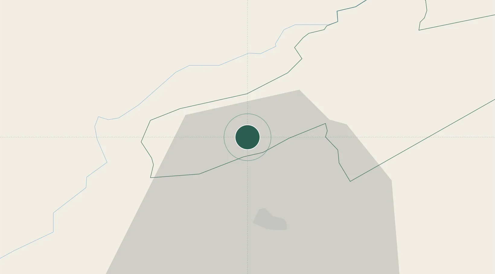
Place type
Populated place
Region
Neuchâtel
Population
814
Time zone
Europe/Zurich
Elevation
736 m
Location
Nearby Logistics Neighbours
Cities
- 1Fleurier2 km
- 2Couvet3 km
- 3Travers7 km
- 4Les Verrières9 km
- 5Champagne10 km
Ports
- 1Savona325 km
- 2Rada Di Vado328 km
- 3Genova333 km
- 4Imperia355 km
- 5San Remo357 km
Airports
- 1Les Eplatures Airport24 km
- 2Payerne Air Base25 km
- 3Montbéliard-Courcelles Airfield65 km
- 4Bern Airport68 km
- 5Grenchen Airfield69 km
Trade Zones
- 1PESA - Port-Franc et Entrepôts de Lausanne-Chavornay SA23 km
- 2Port Franc Vevey50 km
- 3ZFU Besancon57 km
- 4ZFU Montbéliard67 km
- 5ZFU Belfort83 km
DatabookThe Record of Consolidated Knowledge
Switzerland beyond logistics?