Transport Functions
Rail
Road
Hub Profile
Place type
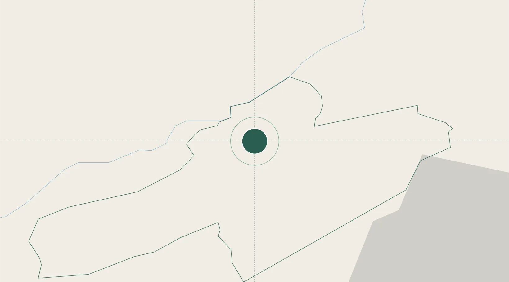
Populated place
Region
Neuchâtel
Time zone
Europe/Zurich
Elevation
1,009 m
Location
Nearby Logistics Neighbours
Cities
- 1La Sagne3 km
- 2La Chaux-de-Fonds9 km
- 3Le Russey12 km
- 4Montlebon13 km
- 5Chambrielien14 km
Ports
- 1Savona334 km
- 2Rada Di Vado337 km
- 3Genova340 km
- 4Chiavari - Lavagna365 km
- 5Imperia367 km
Airports
- 1Les Eplatures Airport2 km
- 2Payerne Air Base27 km
- 3Montbéliard-Courcelles Airfield47 km
- 4Grenchen Airfield50 km
- 5Bern Airport57 km
Trade Zones
- 1PESA - Port-Franc et Entrepôts de Lausanne-Chavornay SA43 km
- 2ZFU Montbéliard49 km
- 3ZFU Besancon62 km
- 4ZFU Belfort64 km
- 5Port Franc Vevey69 km
DatabookThe Record of Consolidated Knowledge
Switzerland beyond logistics?