Transport Functions
Port
Multimodal
Hub Profile
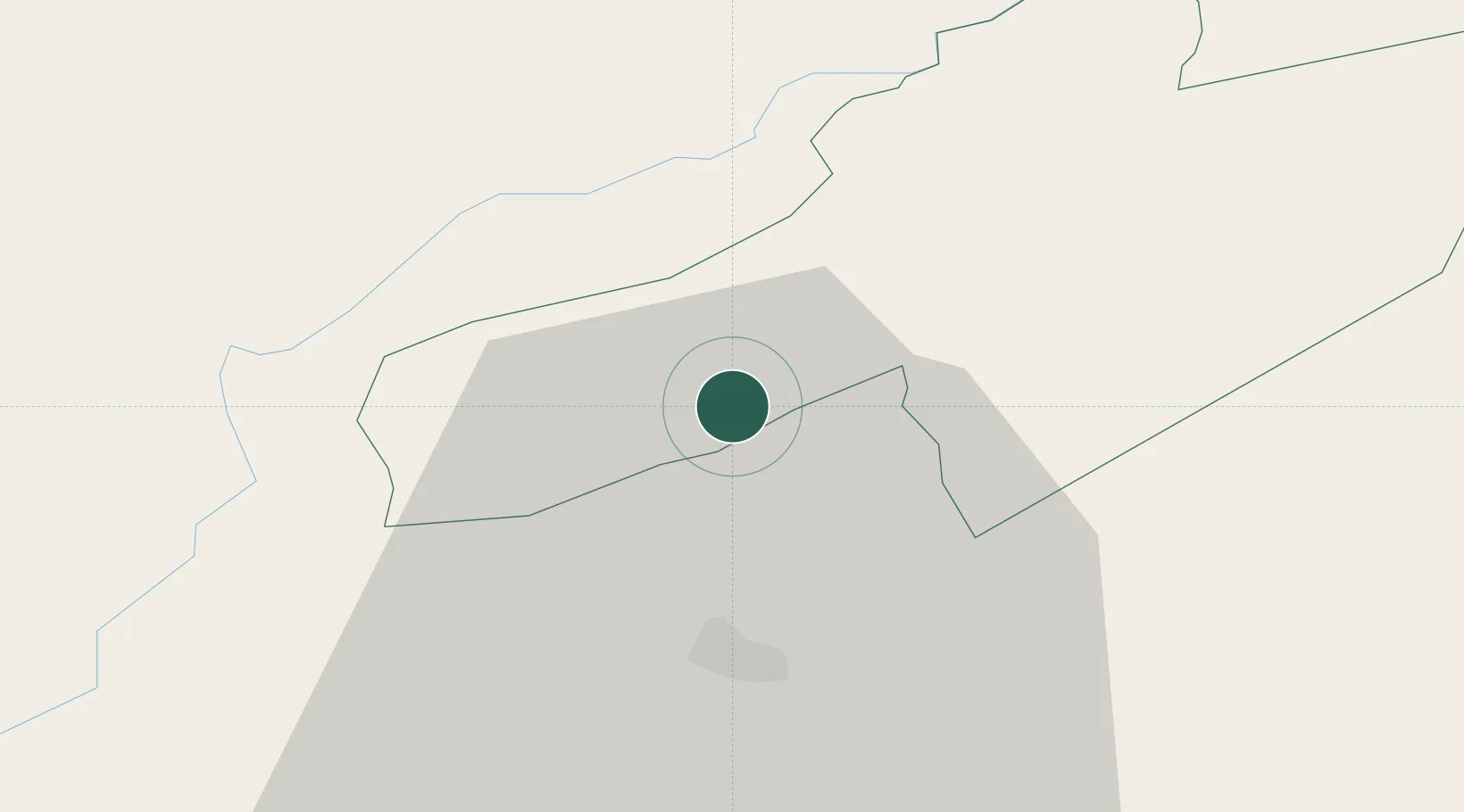
Place type
Populated place
Region
Neuchâtel
Population
2,811
Time zone
Europe/Zurich
Elevation
744 m
Location
Nearby Logistics Neighbours
Ports
- 1Savona324 km
- 2Rada Di Vado327 km
- 3Genova332 km
- 4Imperia355 km
- 5San Remo356 km
Airports
- 1Les Eplatures Airport22 km
- 2Payerne Air Base23 km
- 3Montbéliard-Courcelles Airfield65 km
- 4Bern Airport66 km
- 5Grenchen Airfield66 km
Trade Zones
- 1PESA - Port-Franc et Entrepôts de Lausanne-Chavornay SA24 km
- 2Port Franc Vevey51 km
- 3ZFU Besancon59 km
- 4ZFU Montbéliard66 km
- 5ZFU Belfort82 km
DatabookThe Record of Consolidated Knowledge
Switzerland beyond logistics?