Transport Functions
Road
Multimodal
Hub Profile
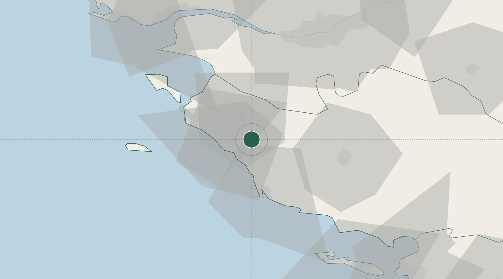
Place type
Populated place
Region
Pays de la Loire
Population
2,441
Time zone
Europe/Paris
Elevation
19 m
Location
Nearby Logistics Neighbours
Cities
- 1Saint-Hilaire-de-Riez9 km
- 2Saint-Gilles-Croix-de-Vie11 km
- 3Sallertaine15 km
- 4Brem-sur-Mer17 km
- 5Saint-Jean-de-Monts17 km
Ports
- 1Les Sables D' Olonne28 km
- 2Nantes54 km
- 3Donges64 km
- 4Montoir65 km
- 5St Nazaire66 km
Airports
Trade Zones
- 1ZFU Nantes et Saint-Herblain54 km
- 2ZFU Saint-Nazaire68 km
- 3ZFU La Rochelle81 km
- 4ZFU Angers124 km
- 5ZFU Le Mans201 km
DatabookThe Record of Consolidated Knowledge
France beyond logistics?